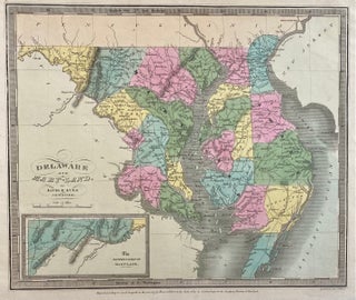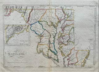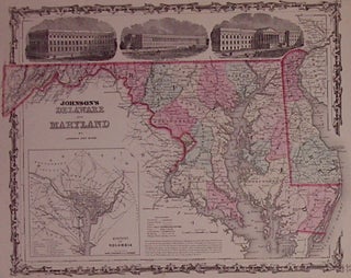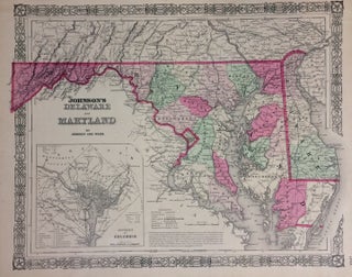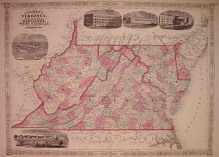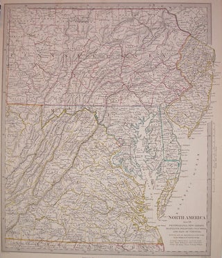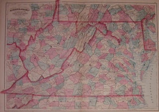
Asher & Adams' Delaware, Maryland, Virginia, West Virginia & District of Columbia
New York: Asher & Adams, 1874. Map. Engraving with original hand coloring. Image measures 16" x 22.5". Beautifully graphic map of the Mid-Atlantic states divided into counties. Shows towns, major routes, railroads and waterways. A few scattered chips to edges. Asher & Adams were publishers based in Washington and New York in the late 19th century. More