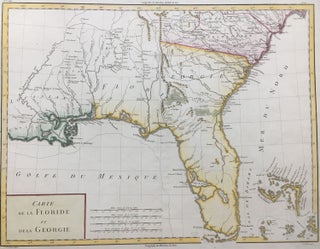
The Atlas to Accompany the Official Records of the Union and Confederate Armies, 1861-1865: Plate CXI
New York: Julius Bien & Co., 1895. Map. Color lithograph. Sheet measures 18 1/2" x 29 1/2" This collection of inset maps includes battlefield maps, fortification plans, and positions of Confederate and Union armies in Tennessee, Virginia, and Georgia. Blue lines for the Union and red for the Confederacy show the geographical location of the various armies. The largest inset depicts the Defenses of Chattanooga, Tenn. Dates and generals' names are also provided. Beyond this historical information, the map is..... More