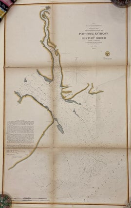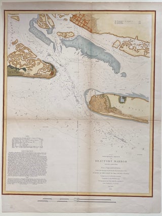
Preliminary Sketch of Beaufort Harbor North Carolina
New York: J. Bien, 1851. Sea chart. Hand colored lithograph. Image measures 19 1/2" x 14 7/8" Hand-colored sea chart of Beaufort Harbor in North Carolina. Shows the town of Beaufort, and Shackleford Banks, Bogue Island, and Carrot Island. Includes depths, sandbars, breakers, channels, banks, and creeks. Notes include sailing directions and information on tides and soundings. Minor toning and wear to original center folds. Alexander Dallas Bache (1806-1867) was an incredibly prolific surveyor, who worked as the superintendent of..... More