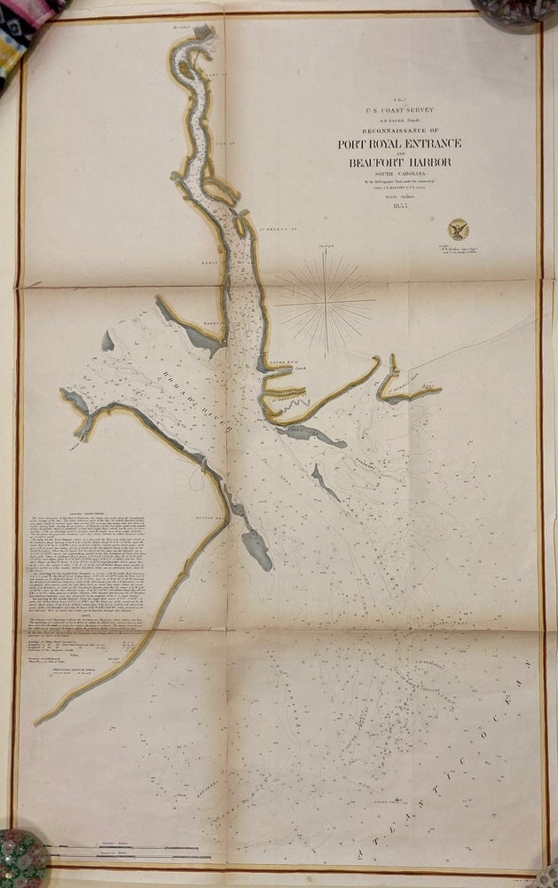
Reconnaissance of Port Royal Entrance and Beaufort Harbor
New York: J. Bien, 1855.
Sea chart. Hand colored lithograph. Image measures 27 1/2" x 17".
Hand-colored sea chart of Beaufort Harbor in South Carolina, extending from Beaufort to Hilton Head. Includes depths, sandbars, breakers, channels, banks, and creeks. Notes include sailing directions and information on tides and soundings. Alexander Dallas Bache (1806-1867) was an incredibly prolific surveyor, who worked as the superintendent of the United States Coast Survey. Toning and wear to original center folds.
Binding: Unbound
Language: English
Price: $150.00
Item #300578
See all items by A. D. BACHE, U. S. Coast Survery