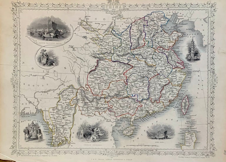
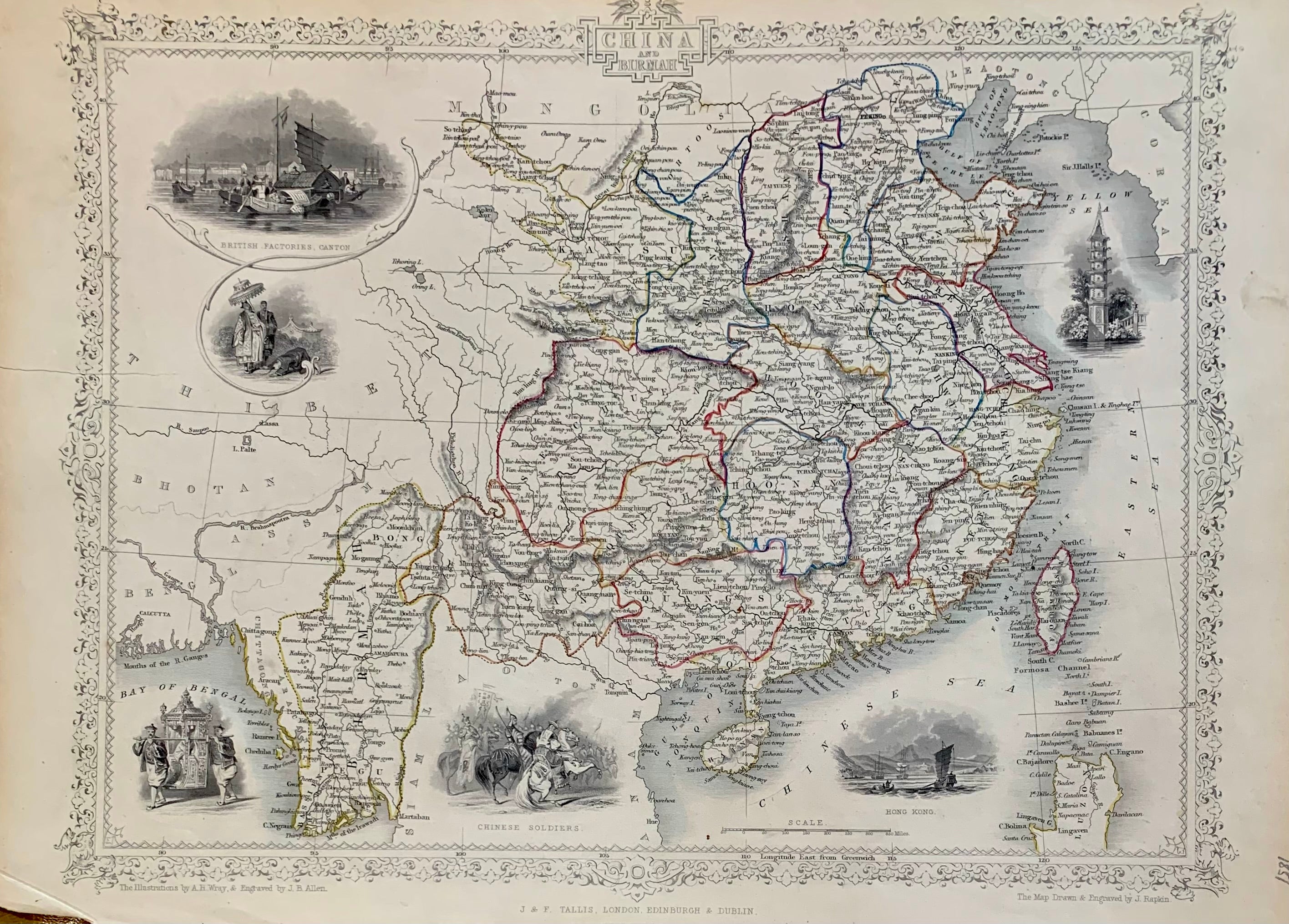
China and Birmah
London: J. Rapkin, 1851.
Map. Steel engraving with original hand colored outlining. Image measures 10 1/2" x 14 1/2".
This map of China and Burma offers both geographical and cultural overviews. Map also extends to parts of Tibet, Bhutan, Assam, and Bengal in the west, Mongolia in the north, Korea and Liaoning in the northeast, Siam and Lao in the south. China and Burma are abundantly labeled with the names of cities, counties, rivers. The decorative vignettes around the map amplify the cultural milieu perceived at the time. These include a view of Hong Kong, Chinese Soldiers, British Factories in Canton among others. The Great Wall of China is identified. Surrounded by an ornate border.
The map is from R. Montgomery's "Illustrated Atlas and Modern History of the World." It is in good condition. No center fold or crease as is common with this map. Small blue stain next to image of British Factories in Canton. Light pencil marks near the bottom. Classic example of Tallis's work.
John Tallis Jr. (1817-1876) was a London born bookseller who continued the prolific map publishing company started by his father. After a partnership with his brother, Tallis Jr. expanded the business to New York in 1849 as well as Boston, Cincinnati, Rochester, Philadelphia and Baltimore. He is remembered as one of the last decorative map makers, and this lovely map exemplifies his work.
Binding: Unbound
Language: English
Price: $450.00
Item #313647