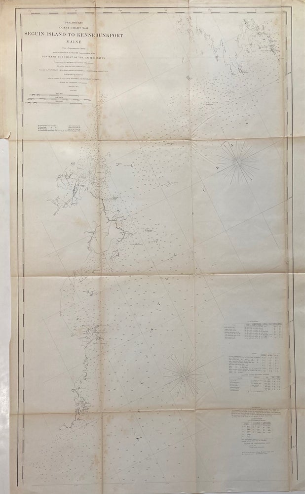
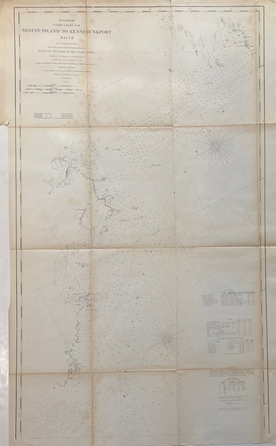
Seguin Island to Kennebunksport, Maine
Washington: Government Printing Office, 1862.
Sea chart. Uncolored lithograph. Image measures 38 1/4" x 22 3/4"
This sea chart depicts part of the coastline of southern Maine, from the mouth of the Kennebec River to the mouth of the Kennebunk River. Depths are shown by soundings, and coastal features are labeled. Inland detail sparse. Tables in the lower right corner provide information on lighthouses, tides, magnetic variations, and abbreviations used to describe underwater topography. In very good condition. Minor toning and foxing along original fold lines.
Alexander Dallas Bache (1806-1867) was an incredibly prolific surveyor, who worked as the superintendent of the United States Coast Survey.
Binding: Unbound
Language: English
Price: $200.00
Item #312455