
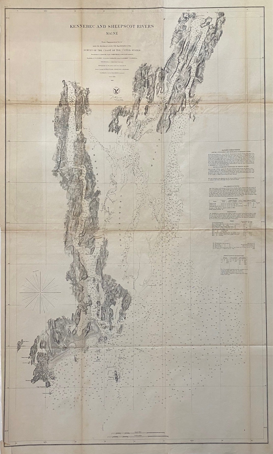
Kennebec and Sheepscot Rivers, Maine
Washington: Government Printing Office, 1862.
Sea chart. Uncolored lithograph. Image measures 38 1/4" x 22 3/4"
Handsome sea chart depicting the mouths of the Kennebec and Sheepscot Rivers, extending from Wiscasett to Seguin Island. Topography is rendered in beautiful detail. In very good condition. Top left quadrant toned, one small closed tear to lower margin. Minor toning along original fold lines.
Alexander Dallas Bache (1806-1867) was an incredibly prolific surveyor, who worked as the superintendent of the United States Coast Survey.
Binding: Unbound
Language: English
Price: $600.00
Item #312440
See all items by A. D. BACHE, U S. Coast Survey