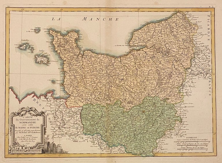
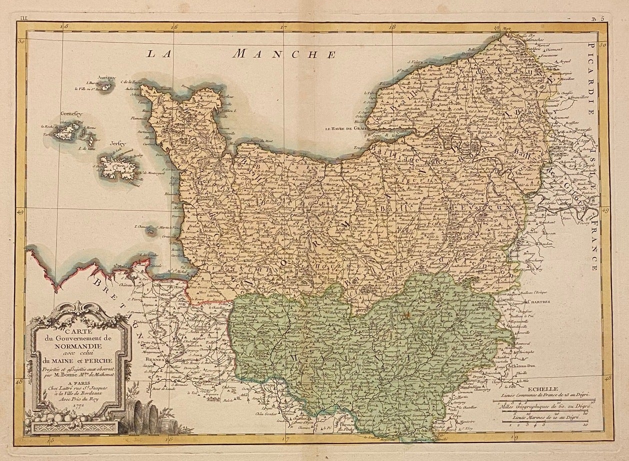
Carte du Gouvernement de Normandie avec celui du Maine et Perche; 1771 Bonne Map of Normandy, France
Paris: Rigobert Bonne, 1771.
Map. Hand colored engraving. Image measures 16.25" x 11.75"
This is a beautiful 1771 map of Normandy, France by Rigobert Bonne. Mapping the region from Bretagne east to Picardie, it includes the Channel Islands, Guernsey and Jersey. Beautifully detailed, the map notes important rivers, towns, villages, cities, lakes and a host of other topographical features with elevation rendered in profile. The map is in very good condition, with some wear and toning to edges.
This region of France is known for cow's milk cheese called Camembert. It is also home to Calvados, a fine brandy made from apples or pears.
Rigobert Bonne (1727-1795) was one of the most important cartographers of the late 18th century. He served as Hydrographer to France, and during his term, he produced a number of detailed and useful maps, particularly of coastal regions. His work is often devoid of decorative cartouches and compasses roses and marks a turn in European mapmaking away from decoration toward technical mapping. This is a lovely example of his work.
Binding: Unbound
Language: English
Price: $200.00
Item #311411