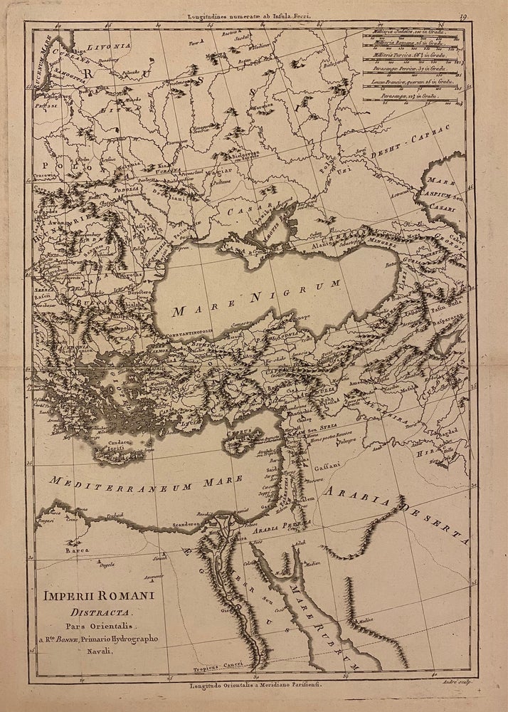
Imperii Romani Distracta Pars Orientalis
Paris: Rigobert Bonne, 1780.
Map. Uncolored engraving. Image measures 14" x 9 1/4"
This map, published by Bonne in 1780, depicts the eastern extent of the Roman Empire. The region between the Mediterranean and Black Seas are extensively labeled. Pictorial elevations are rendered throughout as well as town names, rivers, and major routes. The map is in very good condition, with some wear and toning to edges.
Rigobert Bonne (1727-1795) was one of the most important cartographers of the late 18th century. He served as Hydrographer to France, and during his term, he produced a number of detailed and useful maps, particularly of coastal regions. His work is often devoid of decorative cartouches and compasses roses and marks a turn in European mapmaking away from decoration toward technical mapping. This is a lovely example of his work.
Binding: Unbound
Language: English
Price: $100.00
Item #310938