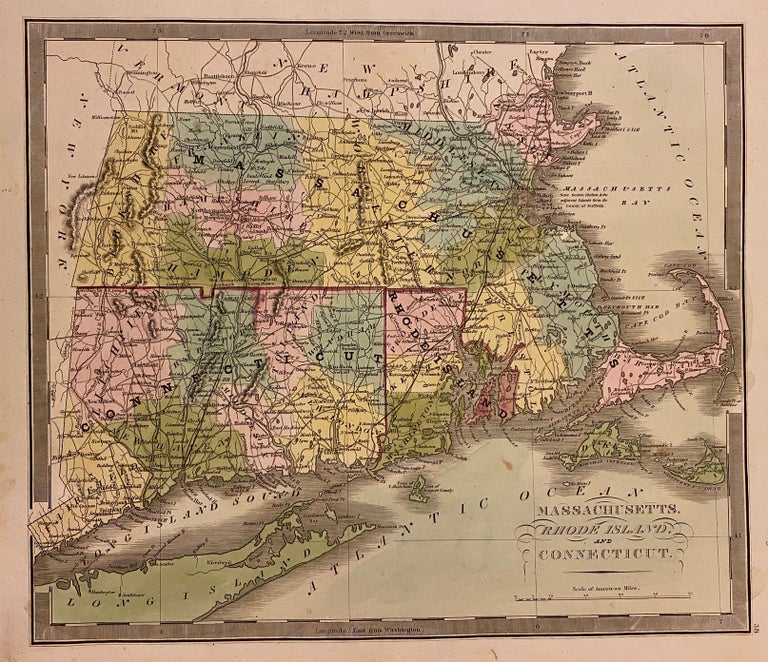
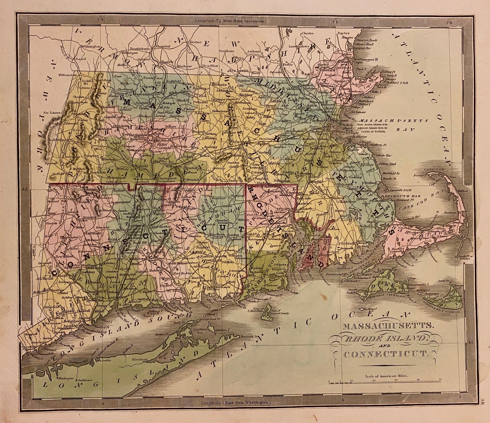
Massachusetts, Rhode Island, and Connecticut
Brattleboro: G. R. French, 1840.
Map. Engraving with original hand coloring. Image measures 10 3/4" x 12 1/2"
Classic first edition Greenleaf map of Massachusetts, Connecticut, and Rhode Island divided into counties. Shows many place names, major routes, railroads, waterways and topographical details. Includes the Long Island Sound and part of Long Island. In very good condition with one faint stain below Sakonnet Point, and some wear to lower left margin not affecting the image.
Jeremiah Greenleaf (1791-1864) was an American cartographer and publisher based in Brattleboro, Vermont. He is best remembered for his publication "A New Universal Atlas", a reissue of David Burr's 1835/1836 atlas. Greenleaf's first edition was published in 1840, with updated editions issued through 1849.
Binding: Unbound
Language: English
Price: $150.00
Item #310640