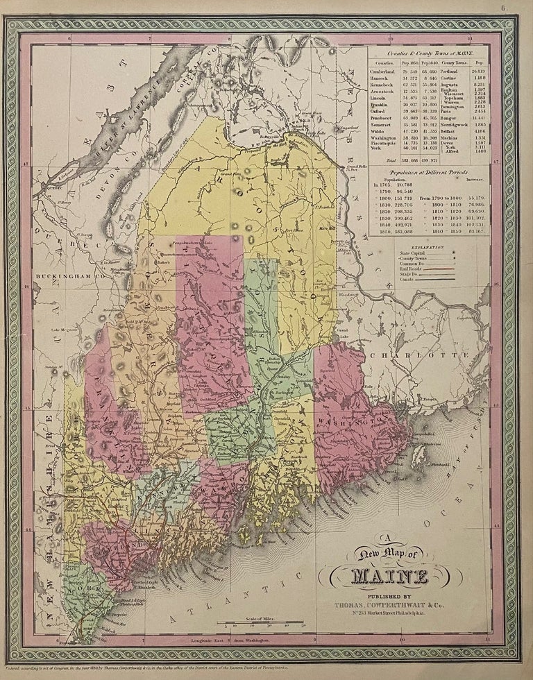
A New Map of Maine
Philadelphia: Thomas, Cowperthwait & Co., 1850.
Map. Engraving with original hand coloring. Image measures 15" x 12".
Nice map of Maine divided into counties showing towns, major routes, waterways and railroads. Includes a table in the upper left corner showing counties and their populations in 1840 and 1850, as well as population growth of the state from 1765 to 1850. In very good condition.
Thomas, Cowperthwait & Co. took over publication of S. A. Mitchell's important "Universal Atlas" in 1850, and continued to produce updated maps that were considered some of the best commercial cartography of the 19th century.
Binding: Unbound
Language: English
Price: $135.00
Item #310422