
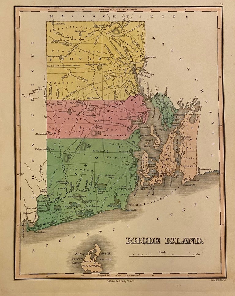
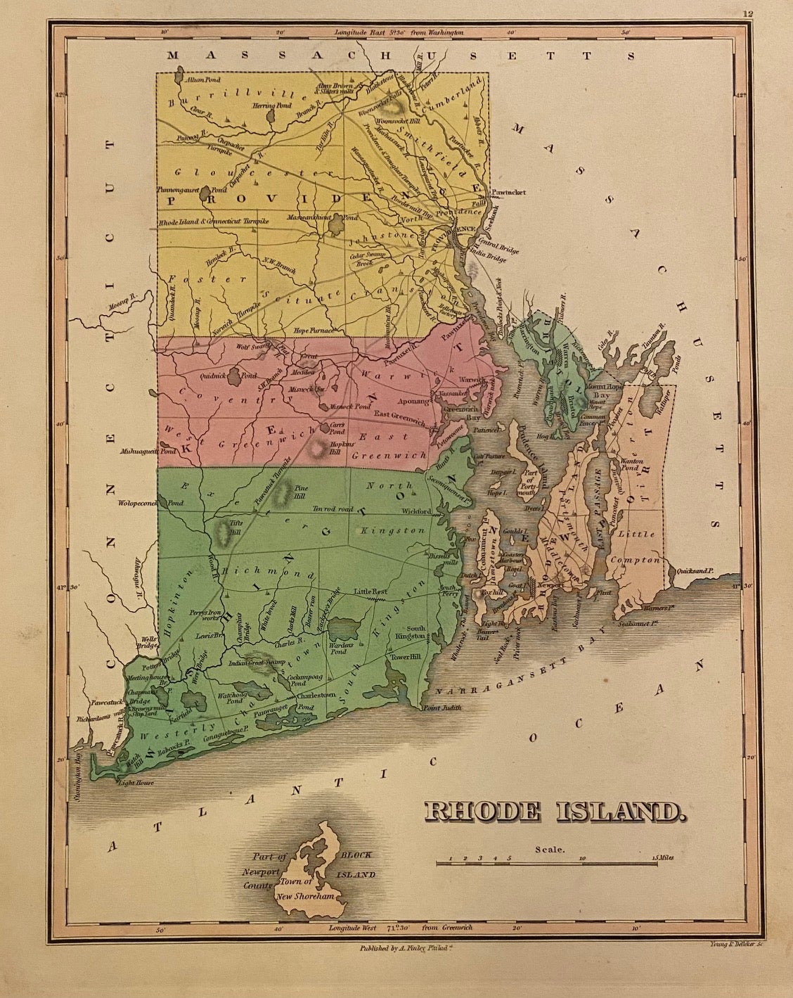
Rhode Island
Philadelphia: Anthony Finley, 1824.
Map. Engraving with original hand coloring. Image measures 11 3/8" x 8 5/8"
Lovely map of Rhode Island divided into counties. Cities, towns, roads, waterways, islands, geographical features are labeled. Notably, some points of interest are also included, such as a ship yard, iron works, bridges, and mills. These sites illustrate the growing industries of the state in the early 19th century. Topography is depicted by hachure. In excellent condition.
Anthony Finley (c. 1790-1840) was a prominent American cartographic publisher in the early 19th century. This map was published in "A New General Atlas", which was well received and praised for its clearness and accuracy. A must-have in any map collection. Illustrator: Young & Delleker
Binding: Hardcover
Language: English
Price: $300.00
Item #310280