
Atlas de Geographie
Paris: 1730.
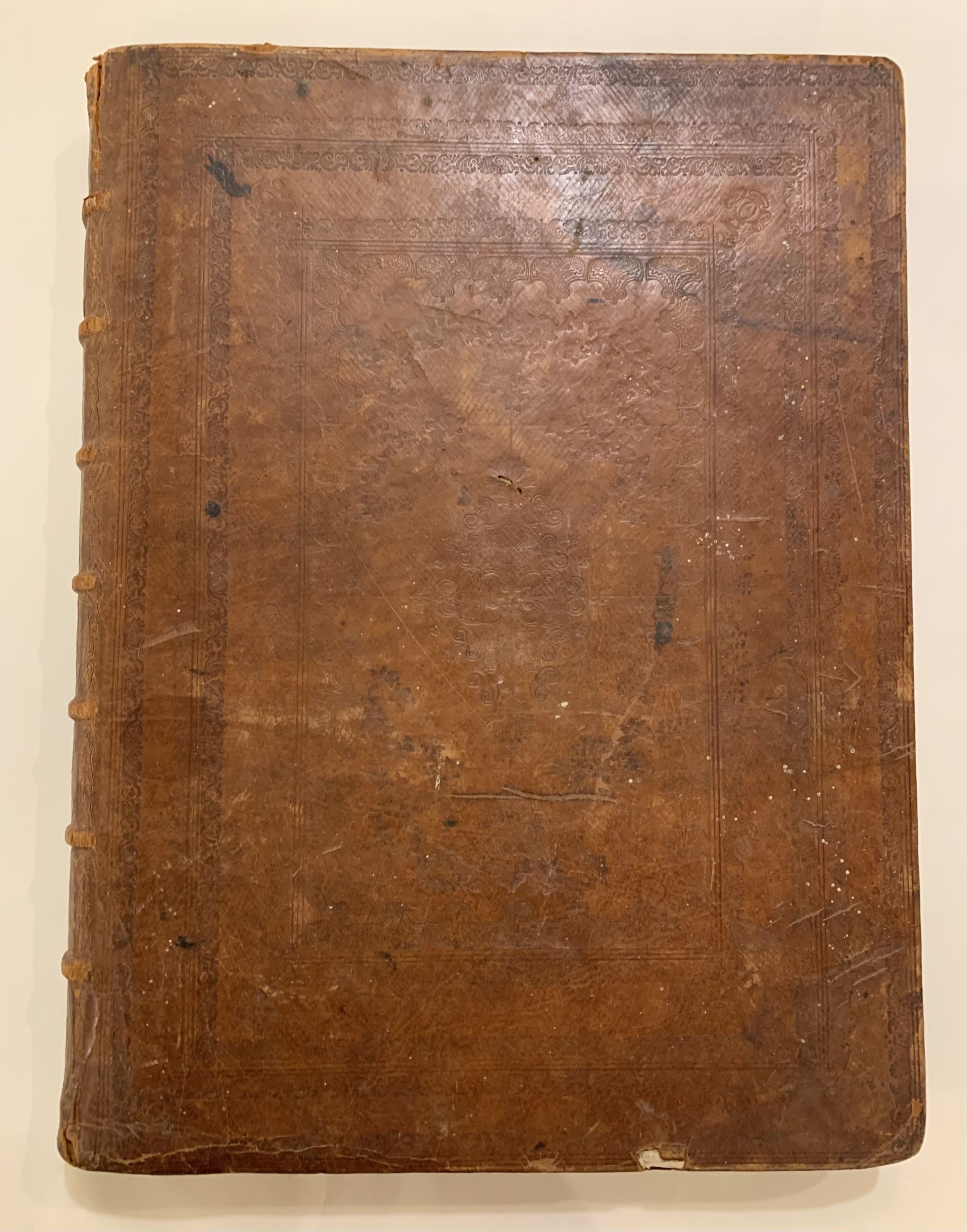
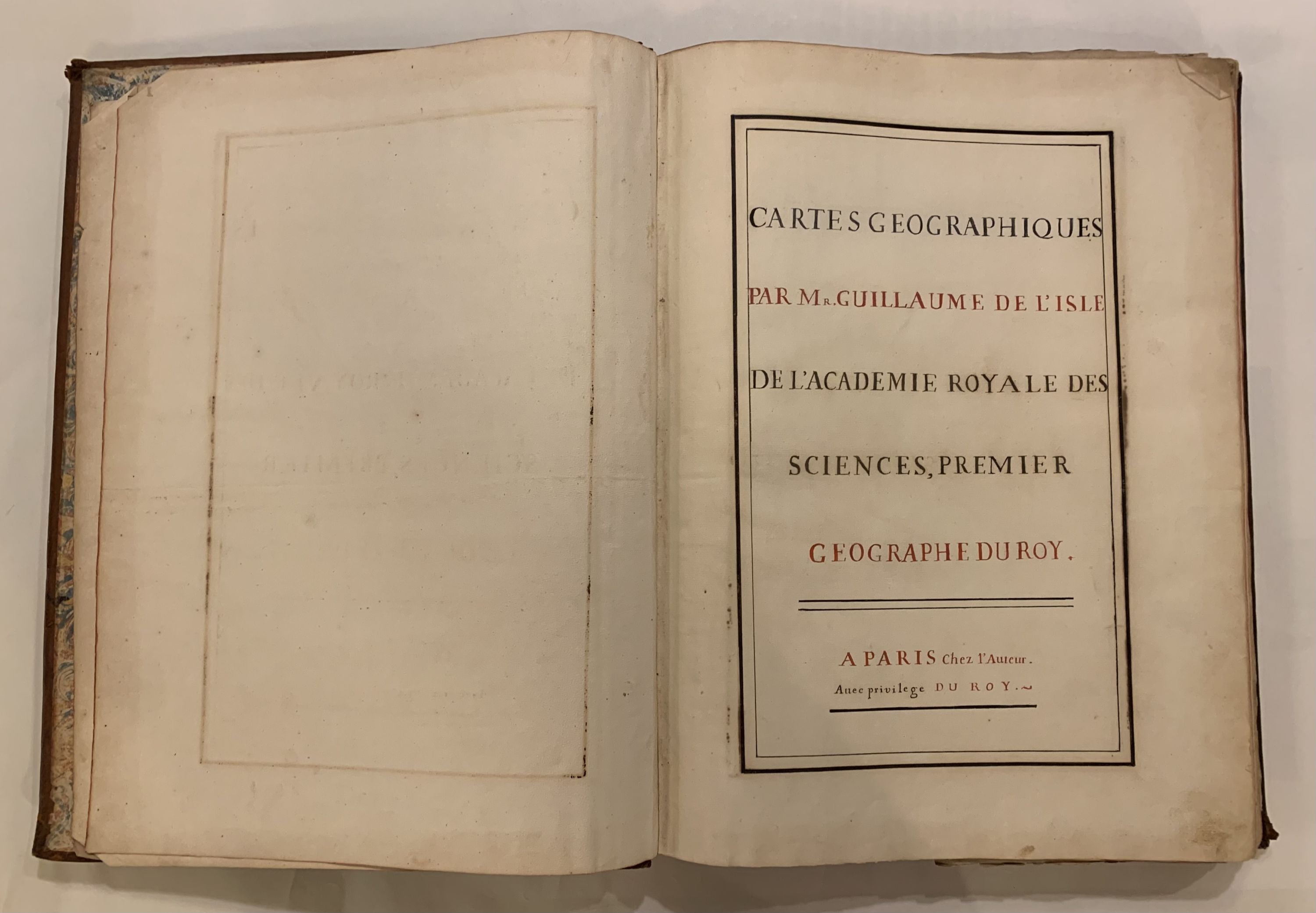
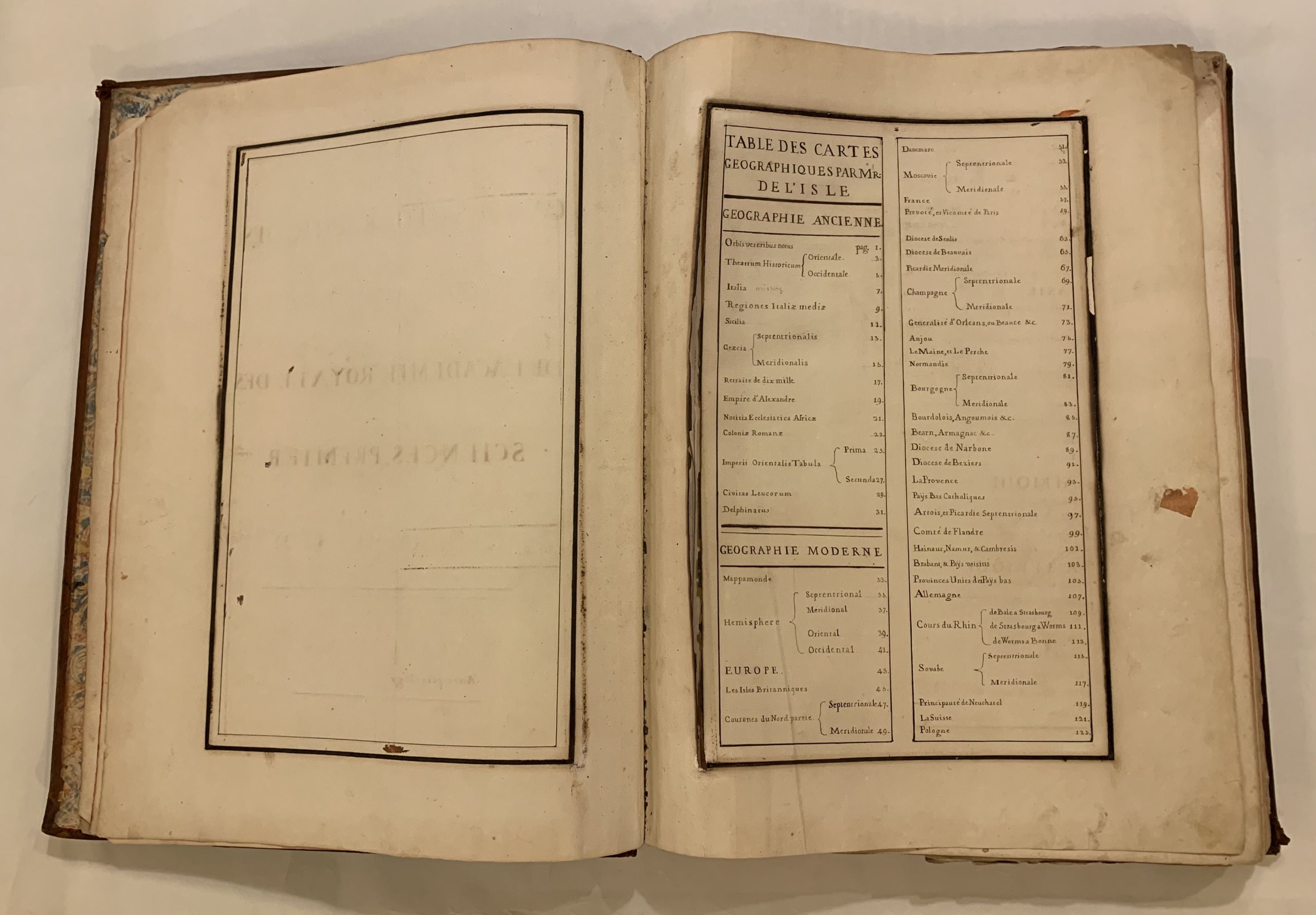
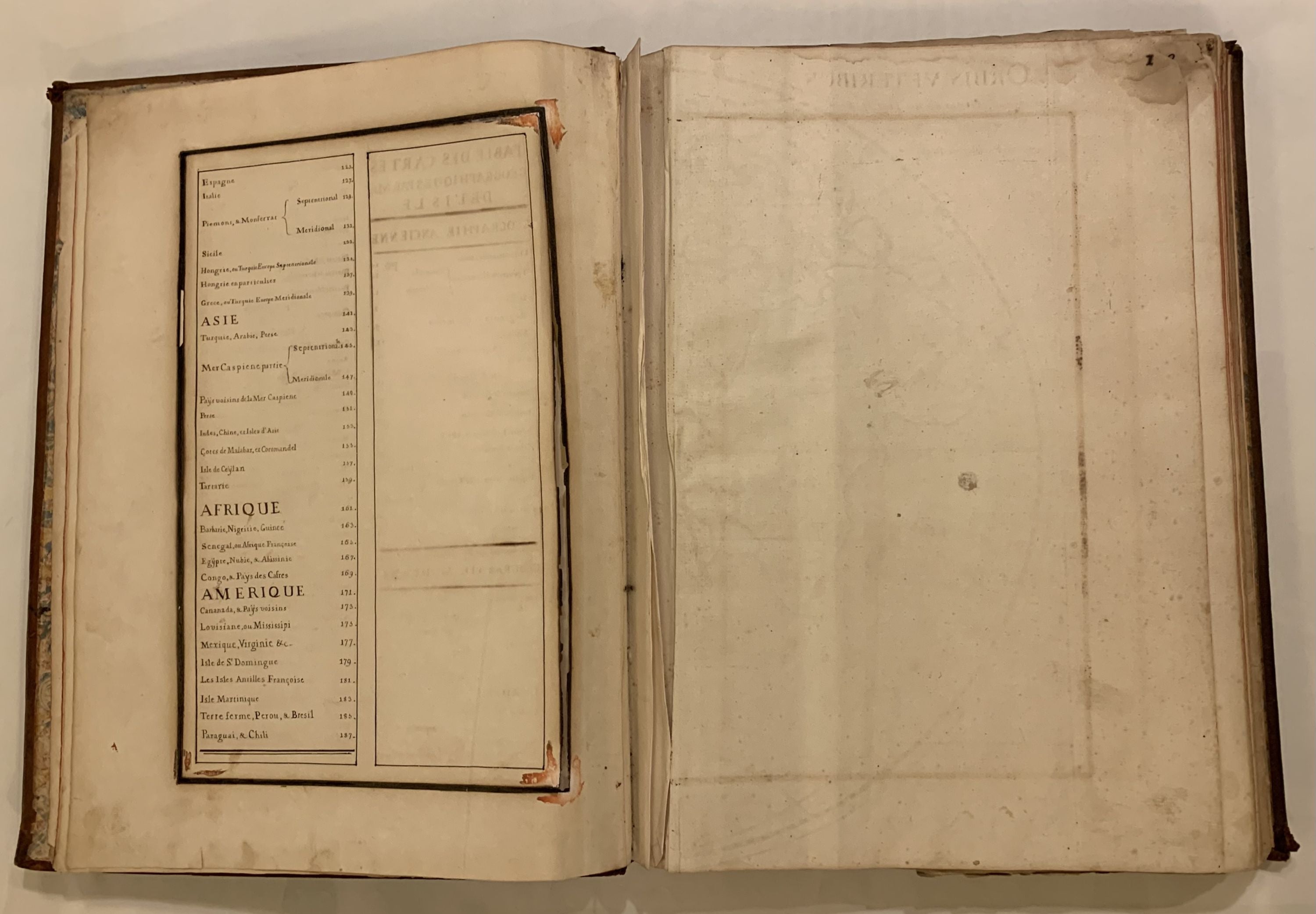
Folio atlas. 20 1/2 x 15 inches. Undated, 97 double-page hand-colored maps throughout, manuscript title, and index 2pp., with page numbers in manuscript. [Italiae missing, 4 maps, 1 chart not listed in the index by Philippe Buache - possibly tipped in later]. Full contemporary brown leather, gilt-decorated spine with tooled cover; corners lightly bumped, with some scuffs and chipping. Paris: Delisle, Circa 1730. Very good (+).
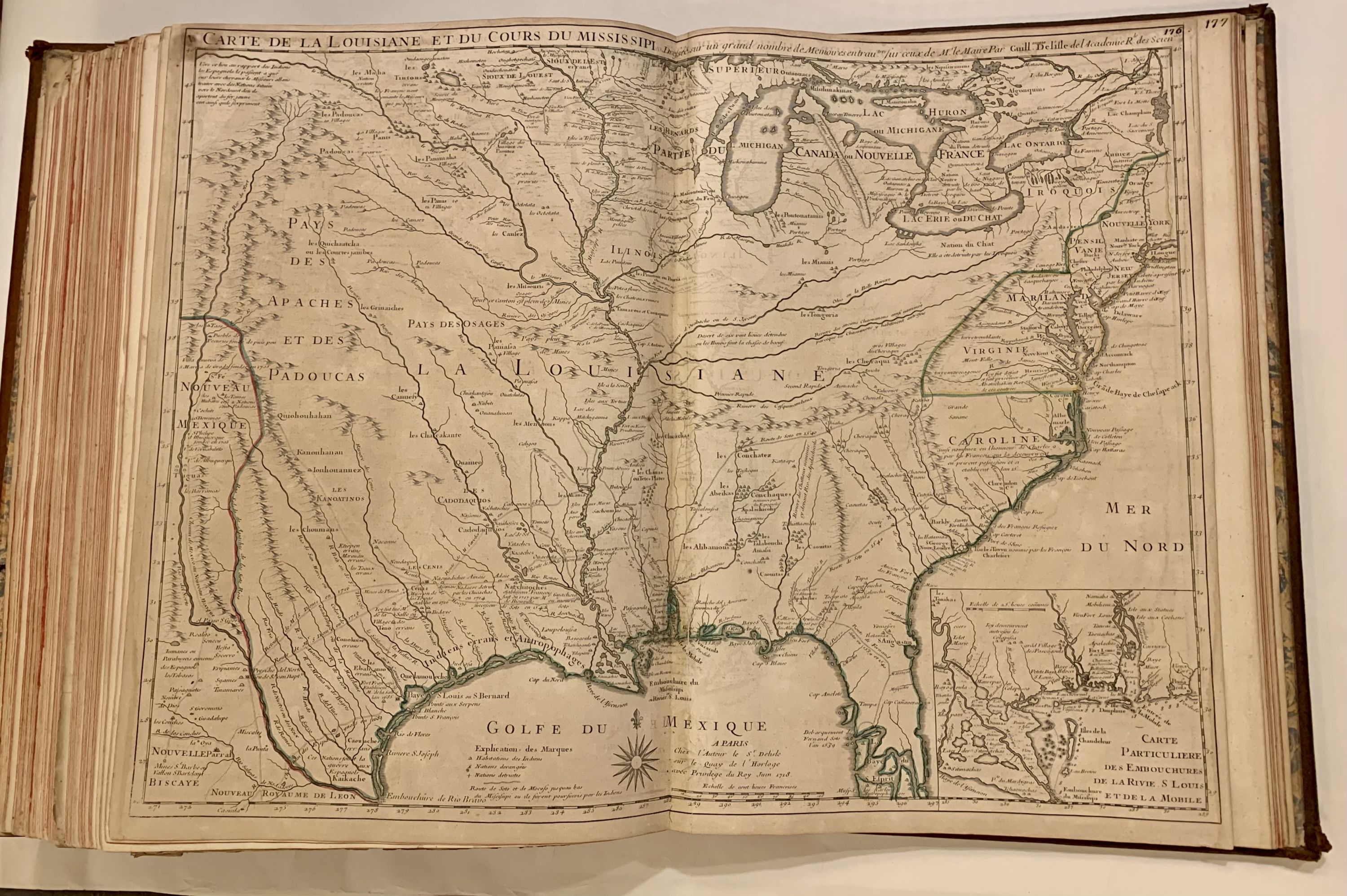
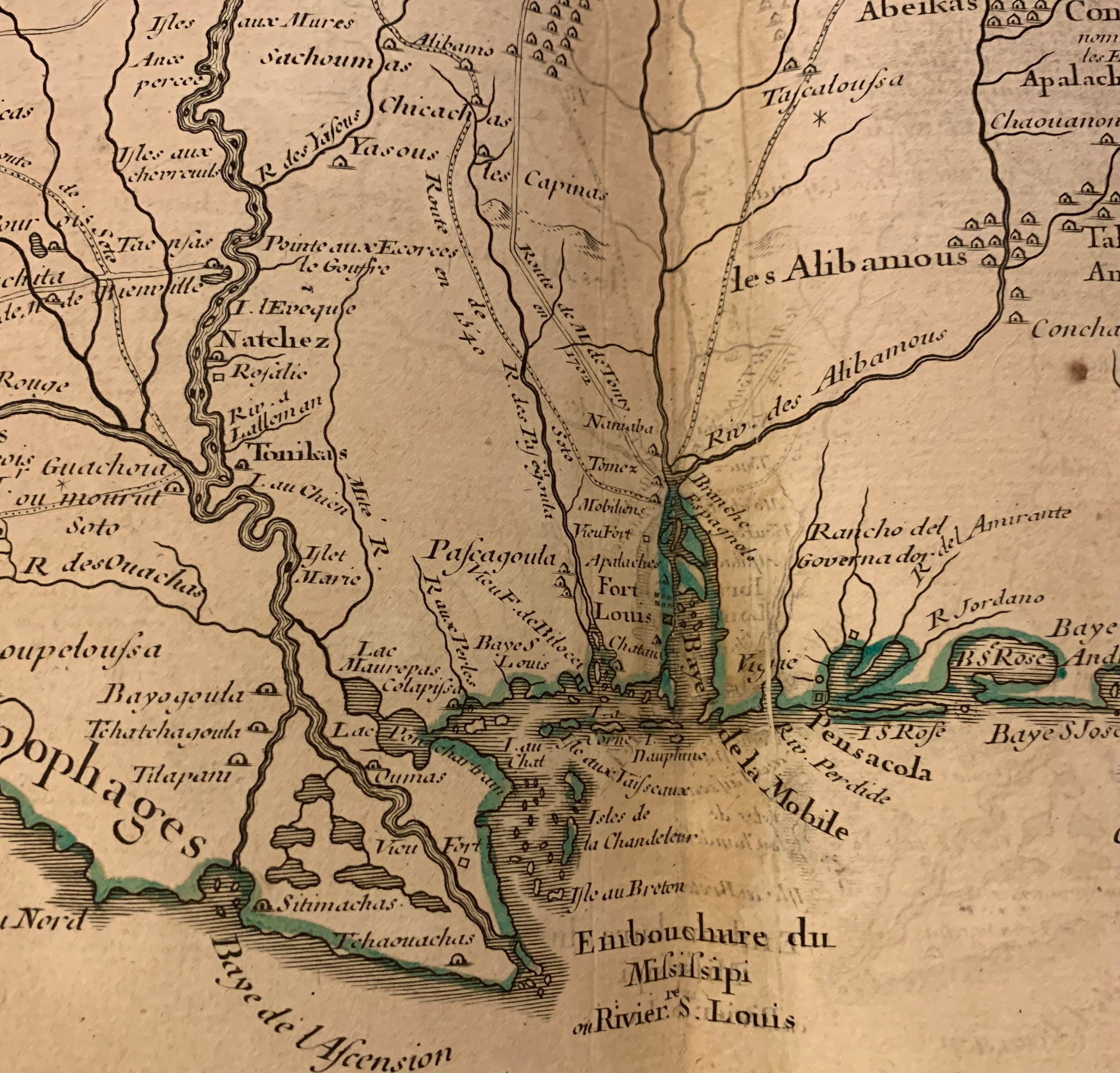
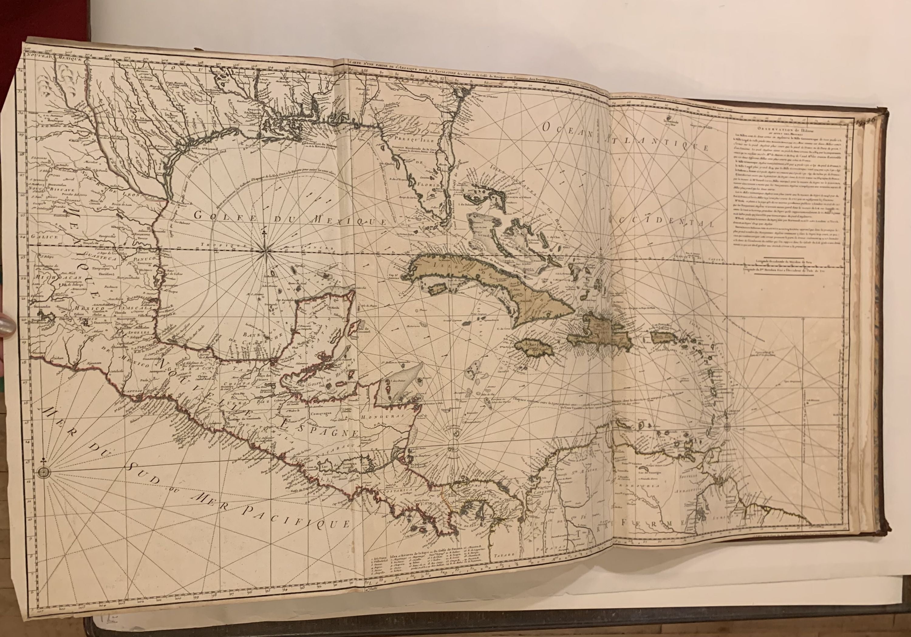
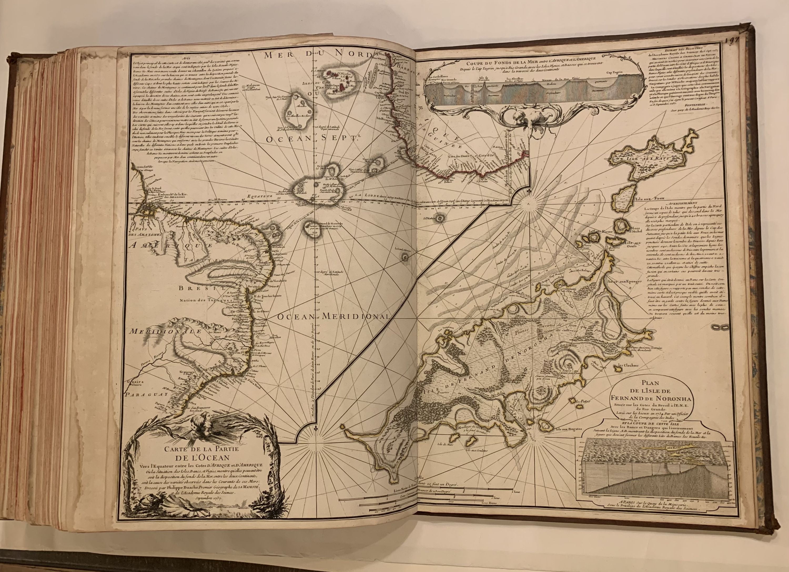
A wonderful rare composite atlas. First several maps are split along centerfold with upper corners toned and chipped. Mappe Monde quite toned, Hemisphere Septentrionale and Meridionale stained, and the Italy map has split in two with stains. All of the important Americas maps are in good condition. Hemisphere Occidental, 1st issue 1724; Carte d'Amerique, 1st issue, 2nd state 1722; Carte du Canada, 2nd issue 1703-1708; Carte de la Louisiane, 1st issue, 1718 (without New Orleans), Carte du Mexique et de la Floride, 3rd issue; Carte de l'Isle de Saint Dominque, 1st issue 1725; Carte des Antilles, 1st issue 1717; Carte de L'Isle de la Martinique; Carte de la Terre Ferme du Peru, du Brazil, 2nd issue 1703-1708; Carte du Paraguay du Chili, 2nd issue 1703-1708. The maps by Philippe Buache include Carte du globe terrestre ou les terres de l'Hemisphere Meridl du France; Carte du France, 1746; Carte du Lac de Geneve, 1750; and a chart Carte d'une Partie de l'Amerique pour la Navigation des Isles et du Golfe du Mexique, 1740. Philippe Buache (1700--1773) was a French geographer who trained under the geographer Guillaume Delisle. Guillaume Delisle (1675-1726) was a legendary French cartographer known for introducing a new standard of accuracy into 17th-century mapmaking. He was one of the cartographers who propelled the French school of map-making away from Dutch dominance. The French school emphasized science and accuracy over ornament. He used astronomical observations to determine locations and draw more precise coastlines and he continued to update his maps in order to dispel prevailing geographical inaccuracies throughout his life. His wife Marie Angelique Delisle and her family took over the business and kept publishing maps well into the late 18th century. A beautiful book.
Language: French
Price: $38,000.00
Item #310119