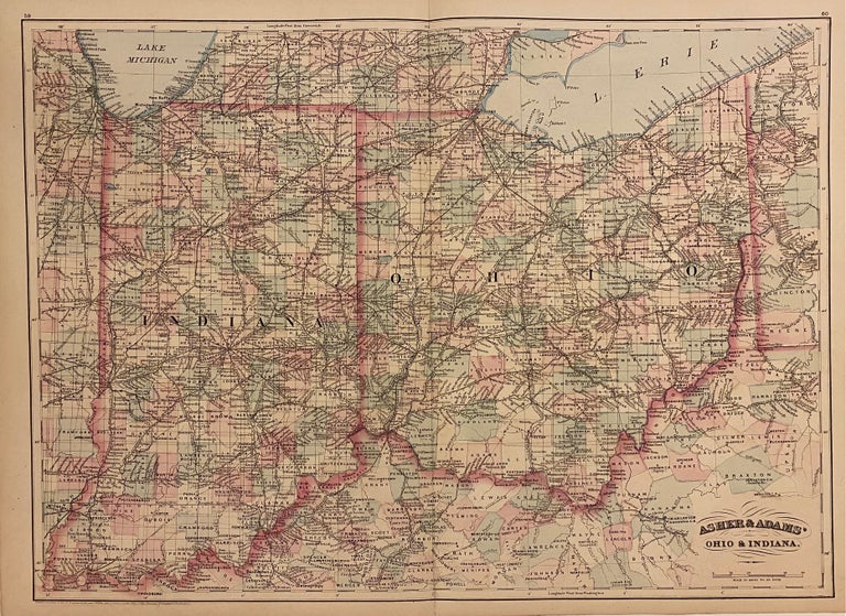
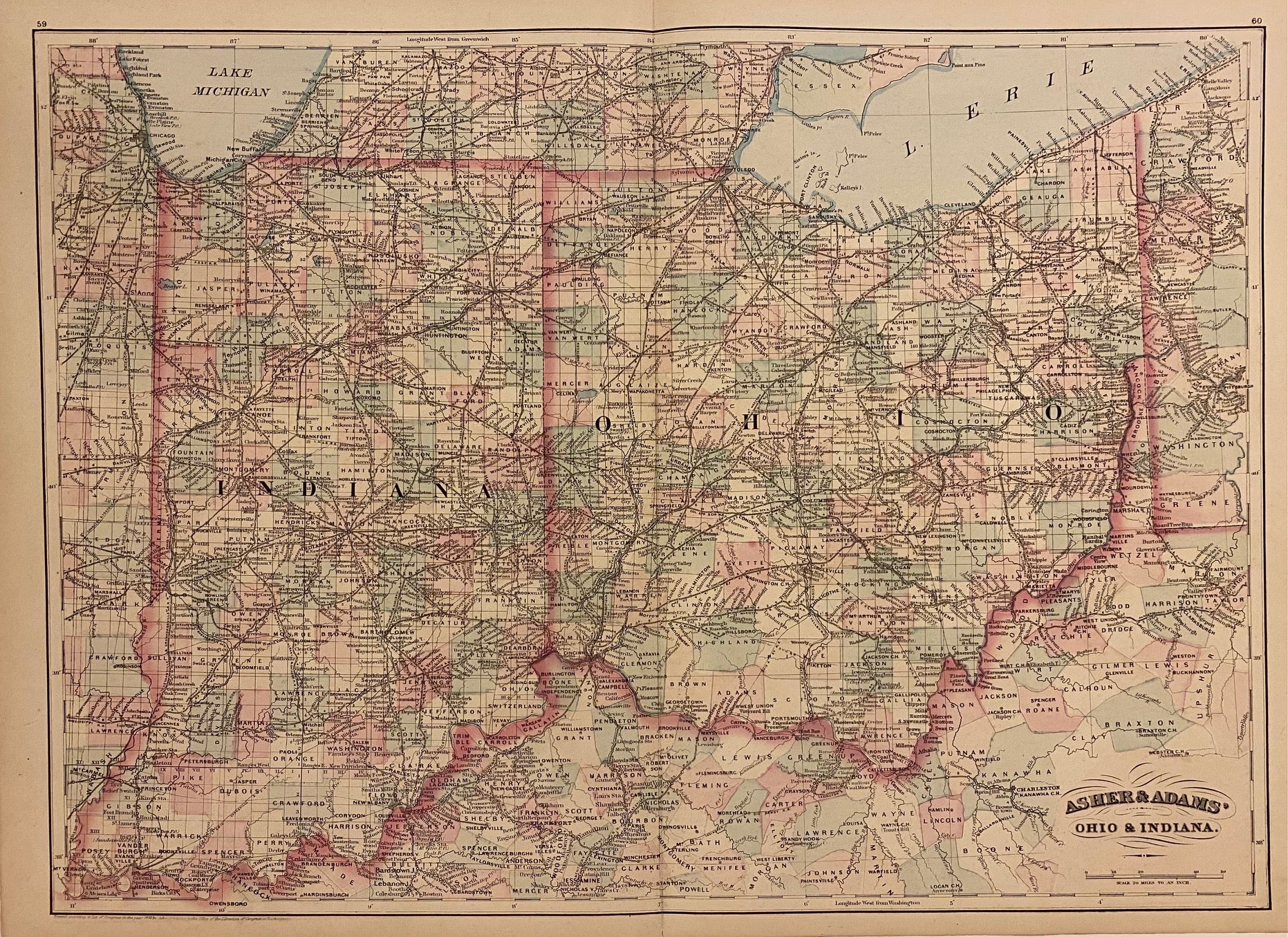
Asher & Adams' Ohio & Indiana
New York: Asher & Adams, 1872.
Map. Engraving with original hand coloring. Image measures 16 1/8" x 22 1/5".
Classic double page map of Indiana and Ohio. Counties, townships, towns, post offices, major routes, and waterways are very clearly labeled. This map highlights the extensive rail network throughout the region, with rail lines prominently depicted and labeled. A clean copy in excellent condition.
Asher & Adams were publishers based in Washington and New York in the late 19th century.
Binding: Unbound
Language: English
Price: $100.00
Item #310107