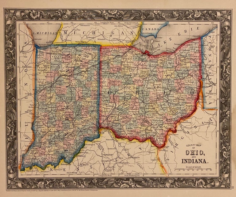
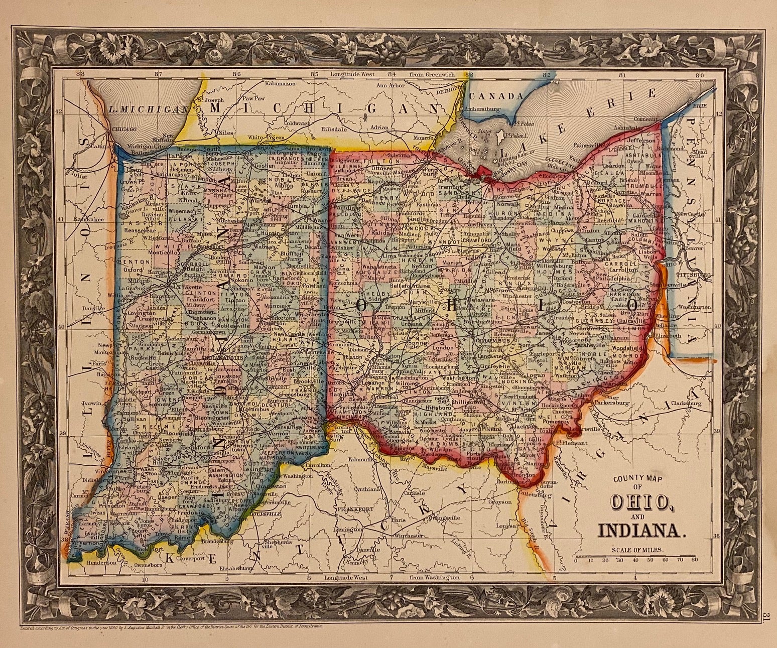
County Map of Ohio, and Indiana.
Philadelphia: Mitchell, Samuel Augustus Jr., 1860.
Map. Engraving with original hand coloring. Image measures 10 1/2" x 13 1/4".
Nicely detailed map of Ohio and Indiana showing counties, towns, major routes and waterways. Features an elaborately engraved decorative border. In very good condition, with minor damp stains to lower right corner, not affecting the image.
Samuel Augustus Mitchell Sr. (1792-1868) was one of the leaders in American cartography of the 19th century and pioneered the conversion of engraved map plates to more affordable lithographic plates. His son, Samuel Augustus Mitchell Jr. continued his father's successful mapmaking and publishing business, and was one of the most prolific and renowned 19th century American publishers.
Binding: Unbound
Language: English
Price: $75.00
Item #310066