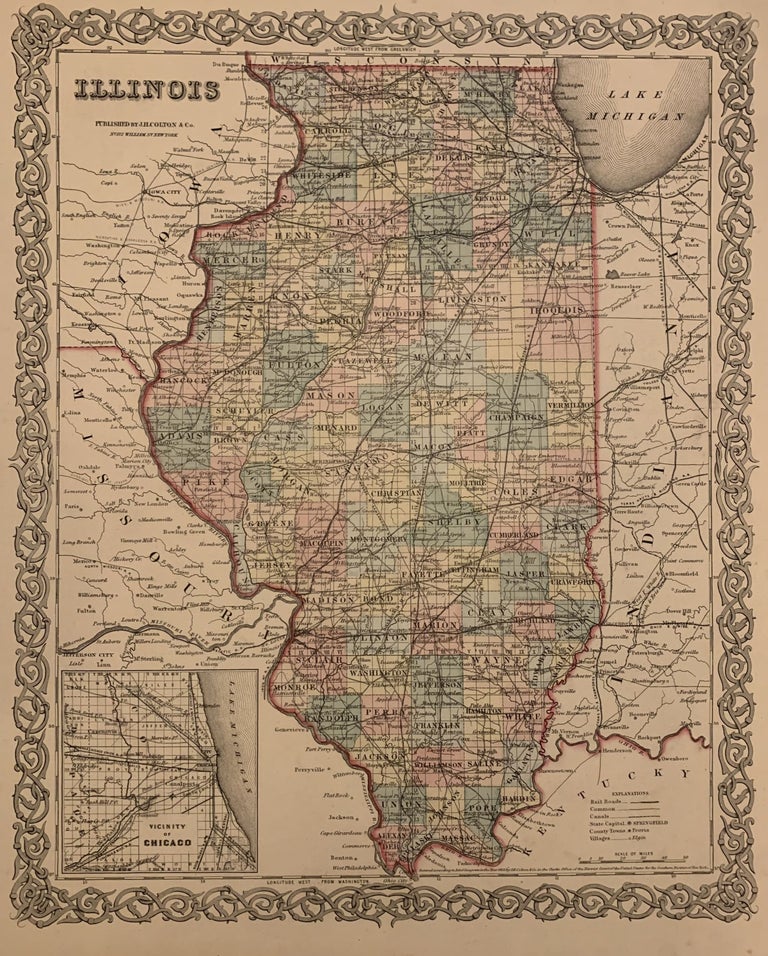
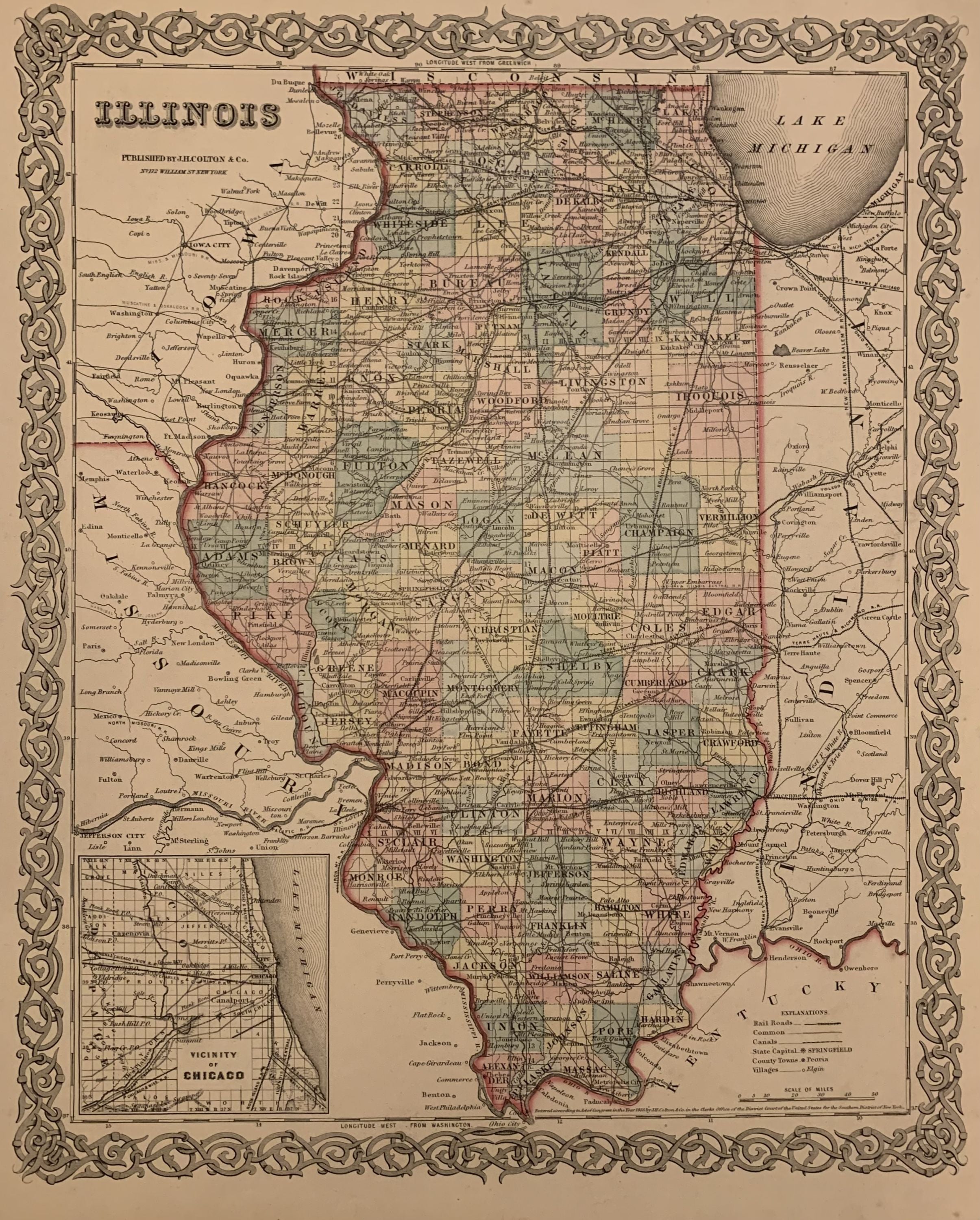
Illinois
New York: J.H. Colton & Co., 1859.
Map. Engraving with original hand coloring. Image measures 15.5" x 13".
Classic map of Illinois divided into counties and townships showing all towns, major routes, waterways and railroads. Includes inset of the "Vicinity of Chicago". In good condition with full original margins. The Colton family was one the most prolific and successful publishers of maps and atlases in the United States. J.H. Colton (1800-1893) founded his business in NYC in 1831.
Binding: Unbound
Language: English
Price: $75.00
Item #309657
See all items by J. H COLTON