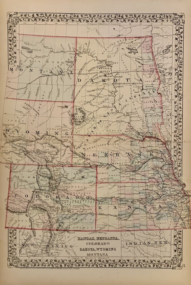
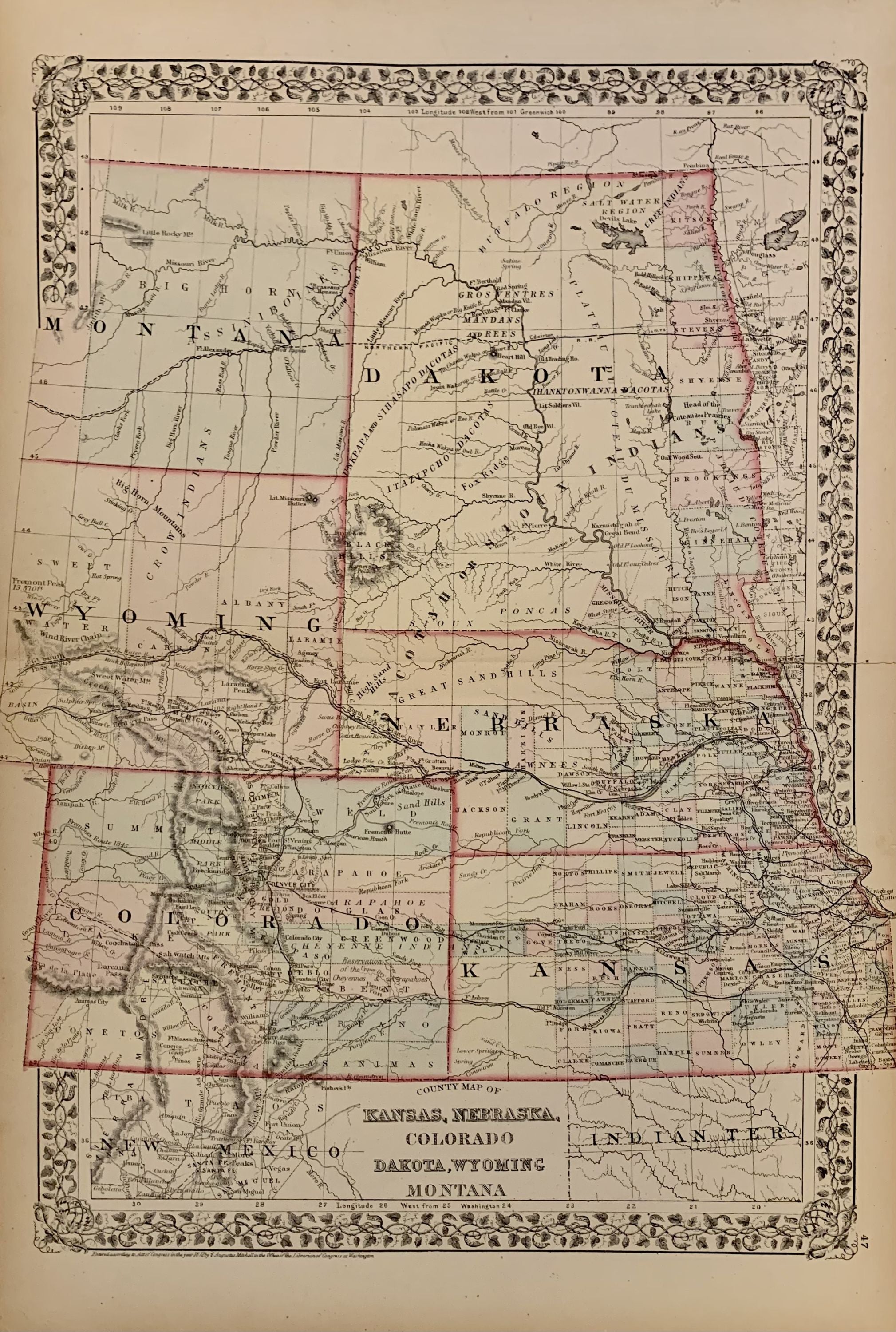
Map of Kansas, Nebraska and Colorado. Showing also the Southern Portion of the Dacotah.
Philadelphia: Mitchell, Samuel Augustus Jr., 1873.
Map. Steel engraving with original hand coloring. Image measures 11.5" x 14".
Creative map of the great planes/flatlands with Kansas, Nebraska, Colorado part of the Dakotas, Wyoming and Montana. Some state spill over the border and extend off the page. Counties, major towns and cities, routes, railroads, waterways and Indian tribes and reservations are carefully noted.
Samuel Augustus Mitchell Sr. (1792-1868) was one of the leaders in American cartography of the 19th century and pioneered the conversion of engraved map plates to more affordable lithographic plates. His son, Samuel Augustus Mitchell Jr. continued his father's successful mapmaking and publishing business, and was one of the most prolific and renowned 19th century American publishers.
Binding: Unbound
Language: English
Price: $235.00
Item #308739