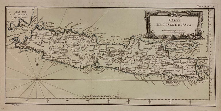
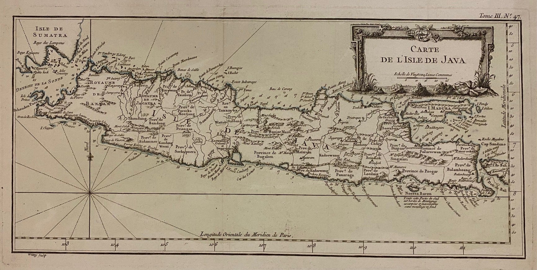
Carte de L'Isle de Java
Paris: Jacques Nicolas Bellin, 1764.
Engraving with original hand-colored. Image measures 7 3/4" x 16 3/8". Sheet measures 12 3/8" x 18 7/8"
This 1764 map shows the Indonesian island of Java. A decorative title cartouche in the upper right is adorned with images of mountains, showing the volcanic terrain on the island. Towns, provinces, topographical features, and coastal features are labeled extensively. Mountains are depicted pictorially. Extends from the southern tip of the island of Sumatra, to the Island of Bali. The Island of Madura is also featured. The map is a dark impression in very good condition.
Jacques Nicolas Bellin (1703-1772) was the official hydrographer to the French king and the first person to hold the title of "Ingenieur de la Marine of the Depot des cartes et plans de la Marine" (chief engineer of the French Hydrographical Office). He was particularly well known for his maps of the French Empire, especially the territories in North America. This map is a fine example of his detailed work.
Language: French
Price: $350.00
Item #308566