
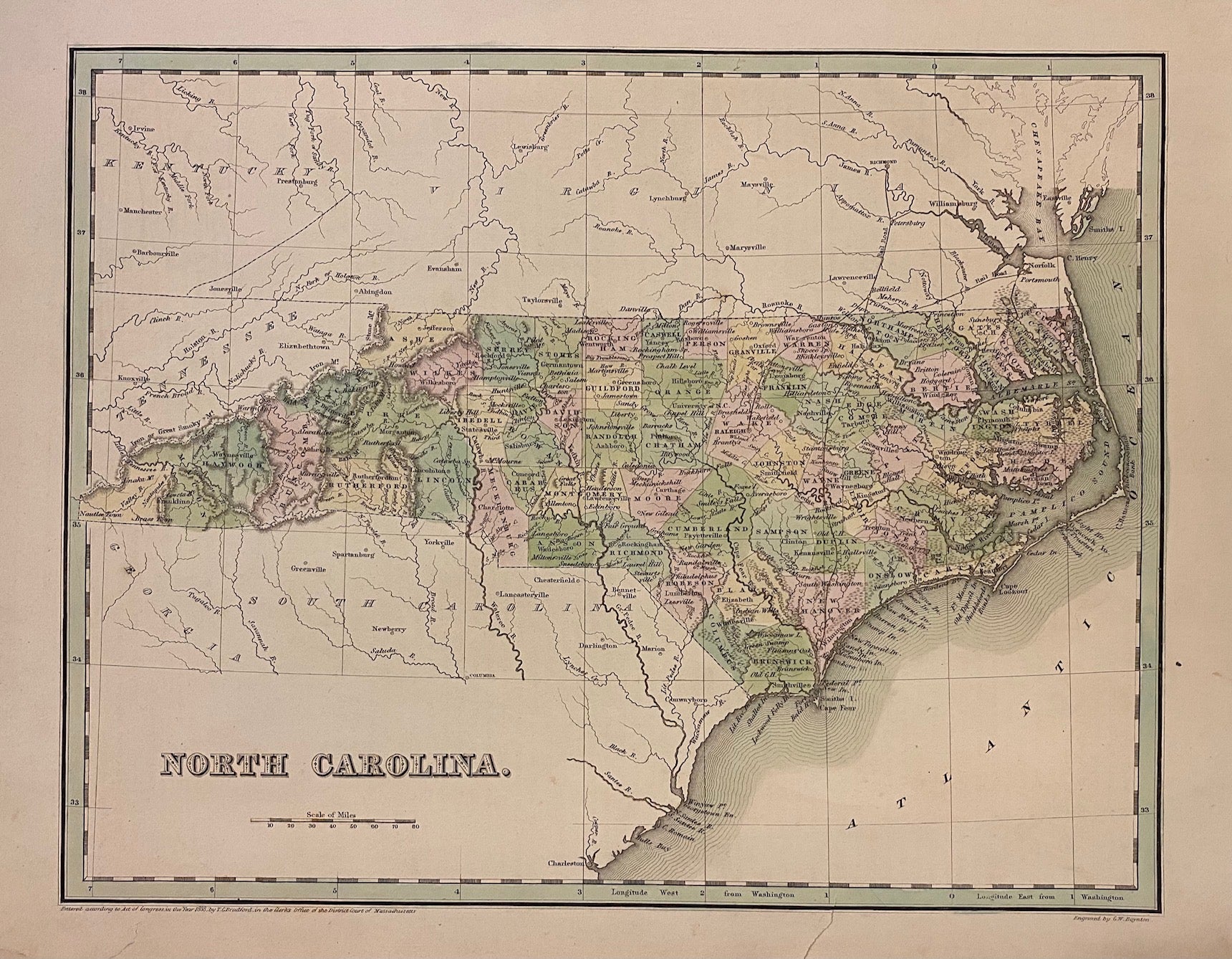
North Carolina
Boston: Bradford, Thomas Gamaliel, 1839.
Map. Engraving with original hand coloring. Image measures 11 3/8" x 14 1/2"
Beautiful early map of North Carolina divided into counties, showing towns, major routes, railroads and geographical details. The map is in good condition. Small closed tears at margins.
T.G. Bradford (1802-1887) was a Boston based publisher. He worked as assistant editor of the American Encyclopedia before entering the field of map making. He was best known for his "important contributions to American cartography, the 1838 "Illustrated Atlas Geographical, Statistical and Historical of the United States and Adjacent Countries."
Binding: Unbound
Language: English
Price: $300.00
Item #303624