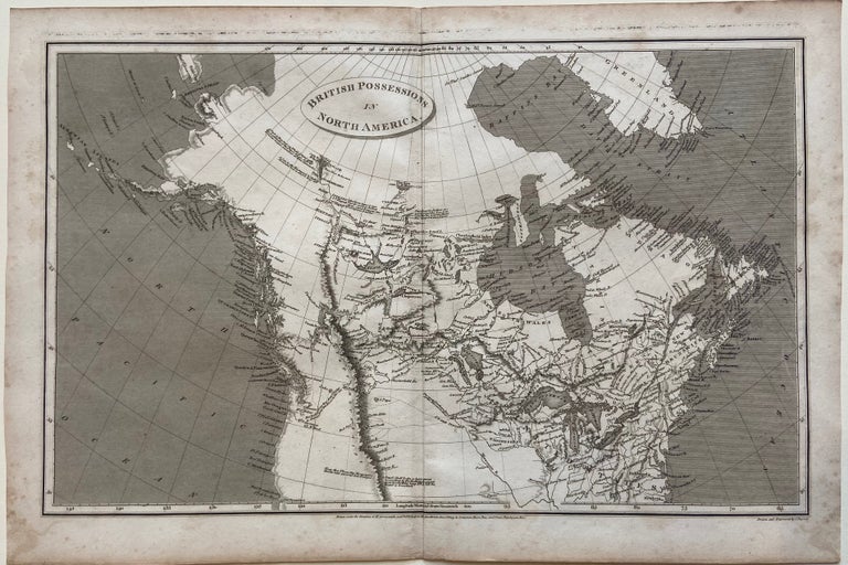
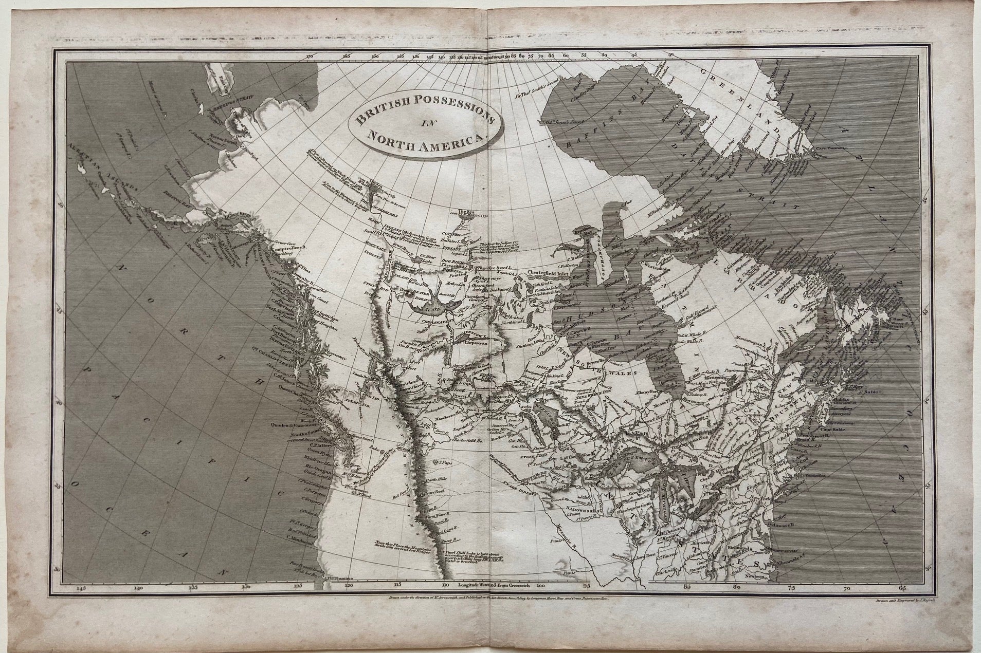
British Possessions in North America
London: Longman, Hurst, Rees & Orne, 1809.
Map. Original uncolored engraving. Sheet measures 11 1/2" x 17 1/8".
This detailed map shows British territories in North America. Although published in 1809, it was made after an 1804 map by Arrowsmith that captured an important moment in North American history at the start of westward expansion. The map includes the Arctic Circle, from Greenland to the Bering Strait, extending south to 35 degrees, the convergence of the Missouri and Mississippi Rivers, at present-day St. Louis. The interior of the continent west of the Mississippi is profusely annotated with information on Indian territories and their reports on navigating the region. This information helped inform Lewis and Clark on their expedition. The continent is labeled in great detail, showing cities, isles, bodies of water, mountain ranges and coastal features. The map is in very good condition, with minor foxing and toning to margins.
Aaron Arrowsmith (1750- 1823) was from a family of London based cartographers and publishers. Trained under John Cary and William Faden, he was given the title of "Hydrographer to the Prince of Wales" in 1810 and "Hydrographer to the King" in 1820. The family business was taken over by his sons, and eventually by his nephew, John Arrowsmith, who was a founding member of the Royal Geographical Society.
Illustrator: John Russell
Binding: Unbound
Language: English
Price: $400.00
Item #298621