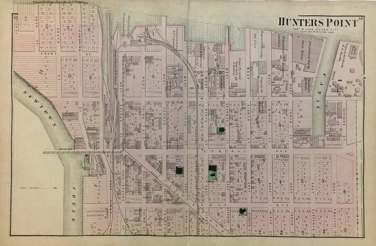
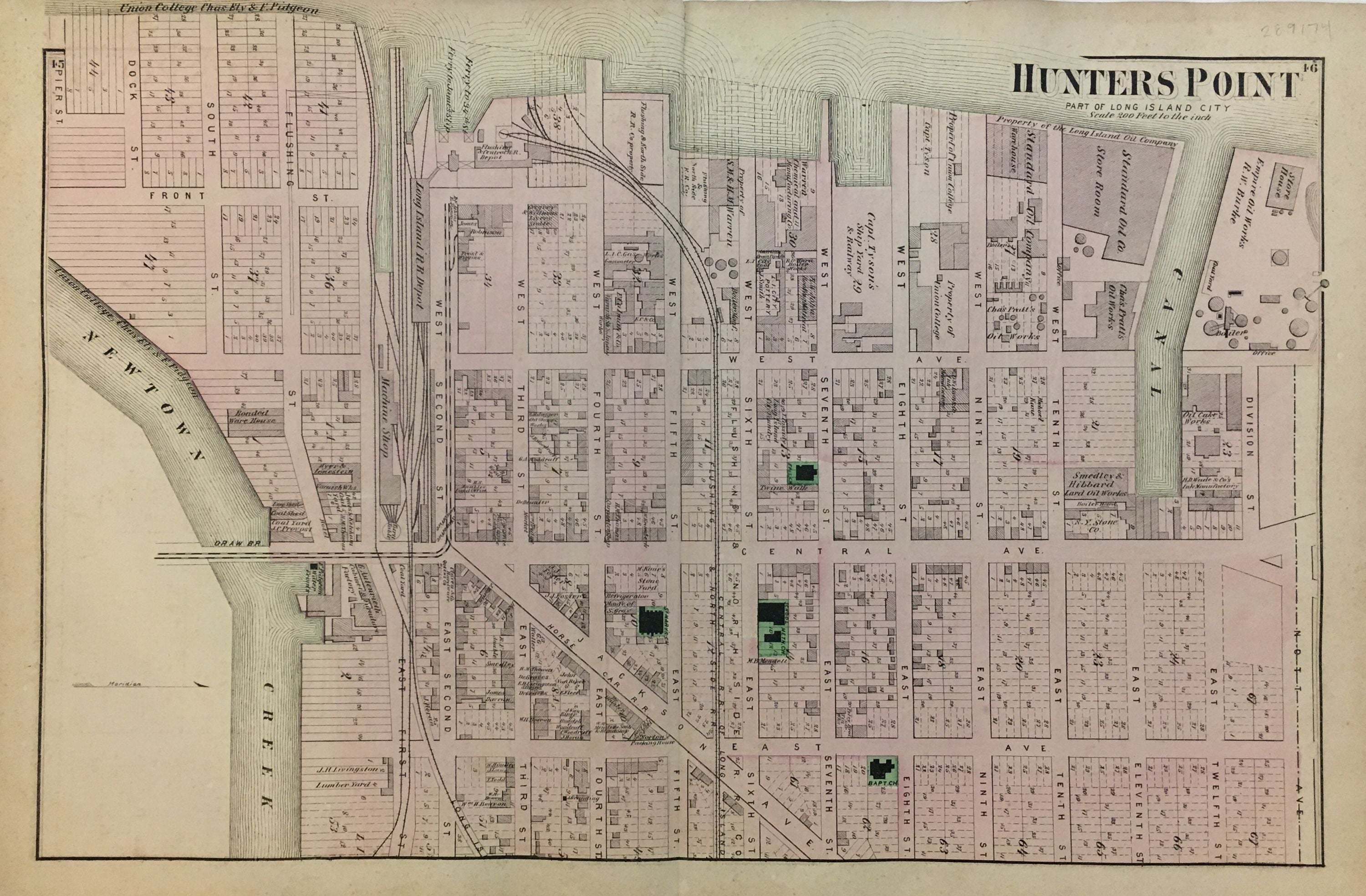
Hunters Point; Part of Long Island City
New York: Beers, Comstock, & Cline, 1873.
Map. Lithograph with original hand coloring. Sheet measures 15.5" x 24". Shows some foxing. Shows some small tears at edges, image unaffected. In very good condition.
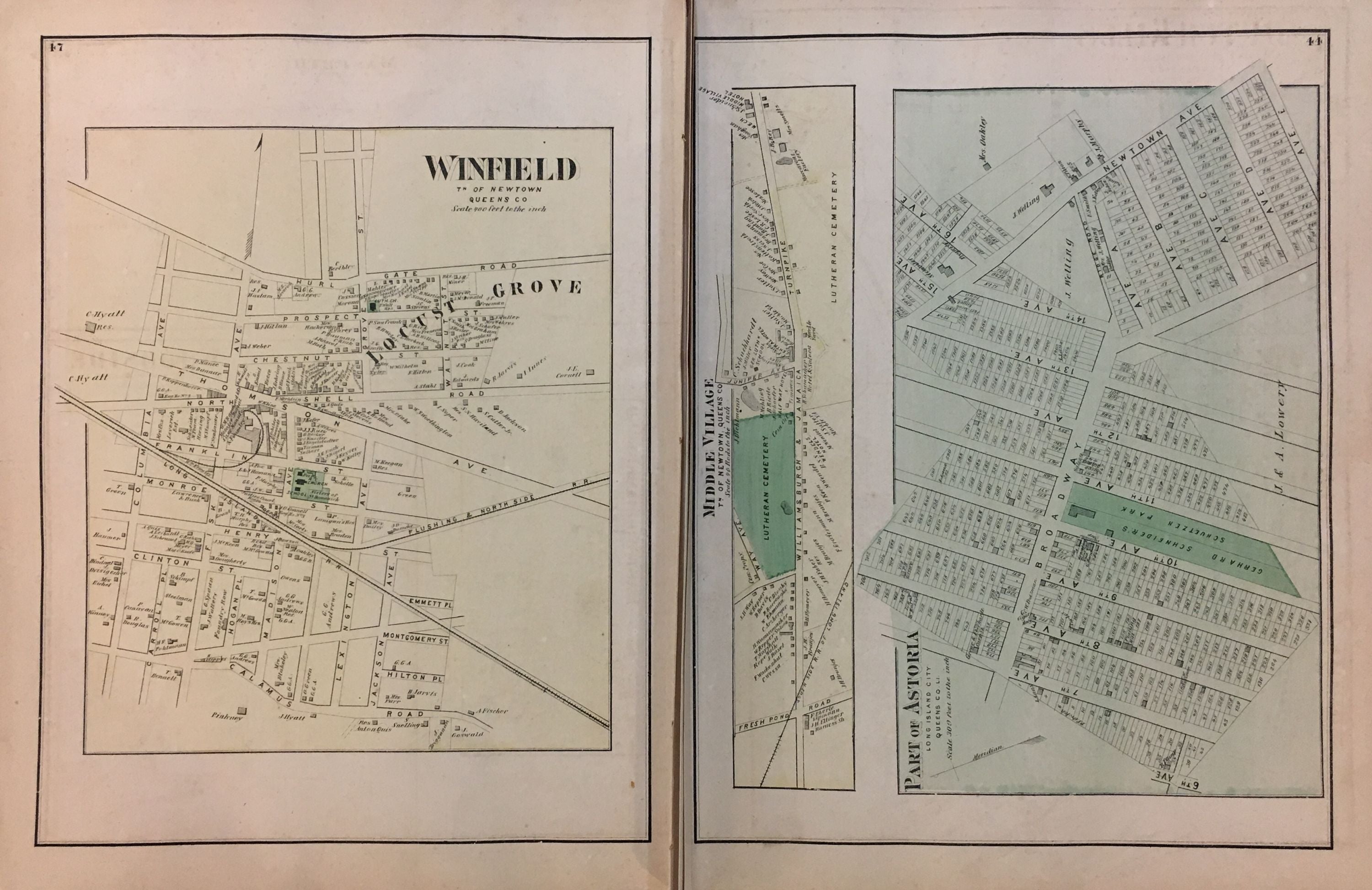
This 1873 map by Frederick W. Beers shows Hunters Point, Queens, from Newtown Creek to Division Street, and from the East River to East Avenue (present-day 21st Street). Verso shows details of Winfield, Middle Village, and part of Astoria. Included in Beers' Atlas of Long Island, New York (New York: Beers, Comstock, & Cline, 1873).
Frederick W. Beers (flourished 1858-1929) came from a family of surveyors, cartographers and publishers originally from Newtown Connecticut. F.W. Beers continued the work of his father James Botsford Beers and was known for his county survey maps of New York, Ohio, Pennsylvania, Michigan, Connecticut and Vermont.
Binding: Unbound
Condition: Very Good
Language: English
Price: $200.00
Item #289174