
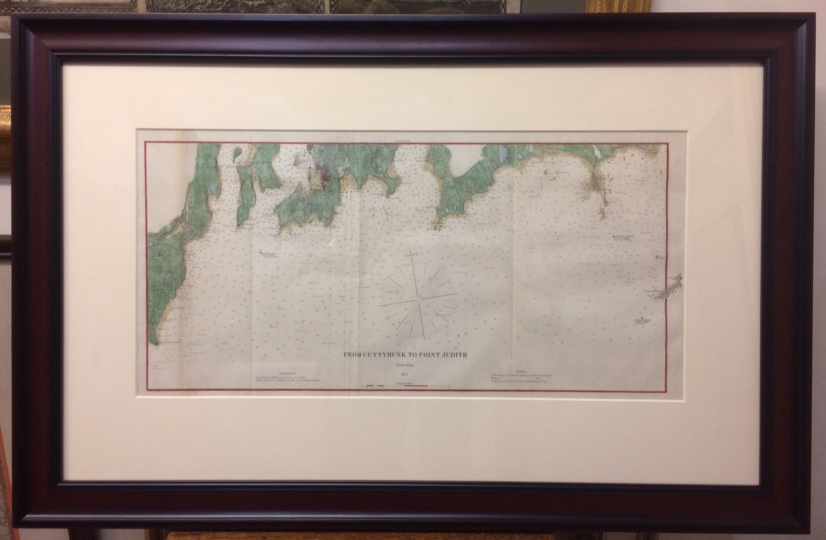
From Cuttyhunk to Point Judith
U.S. Coast Survey, 1877.
Map. Lithograph with hand coloring. Image measures 22 x 10.75 inches. Frame measures 20 x 31.25 inches. In very good condition.
Sea chart showing Newport, Narragansett, Point Judith, and Cuttyhunk. Over the course of the 19th century, the U.S. Coast Survey survey worked closely with the U.S. Navy to produce sea charts of the country's waters that could serve scientific as well as military functions.
Binding: Unbound
Language: English
Price: $400.00
Item #287886
See all items by U S. COAST SURVEY