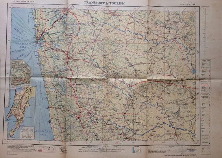
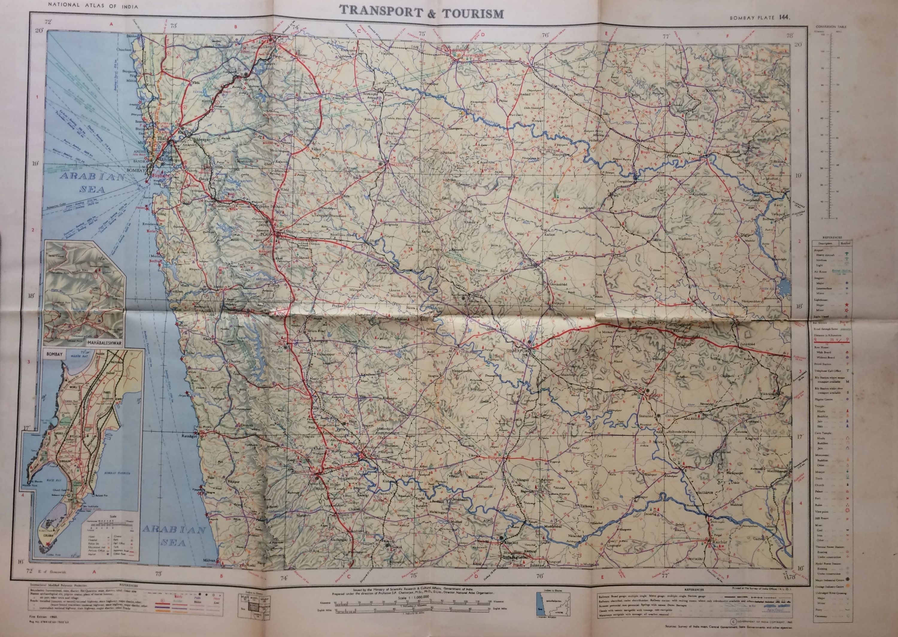
Bombay Area Transport and Tourism; National Atlas of India Plate No. 44
Ministry of Scientific Research & Cultural Affairs, 1960.
Map. Lithograph. 21.5 x 30 inches. In very good condition. Shows some staining, foxing, and wear at edges and along original fold lines.
Beautifully designed and highly detailed map from the National Atlas of India shows transportation routes and places of interest in and around the region of Bombay, with explanatory text on verso. Insets detail Bombay and Mahabaleshwar. Comprehensive index list with air routes, Railroad routes, pilgrim centers and hill resorts among many other notations.
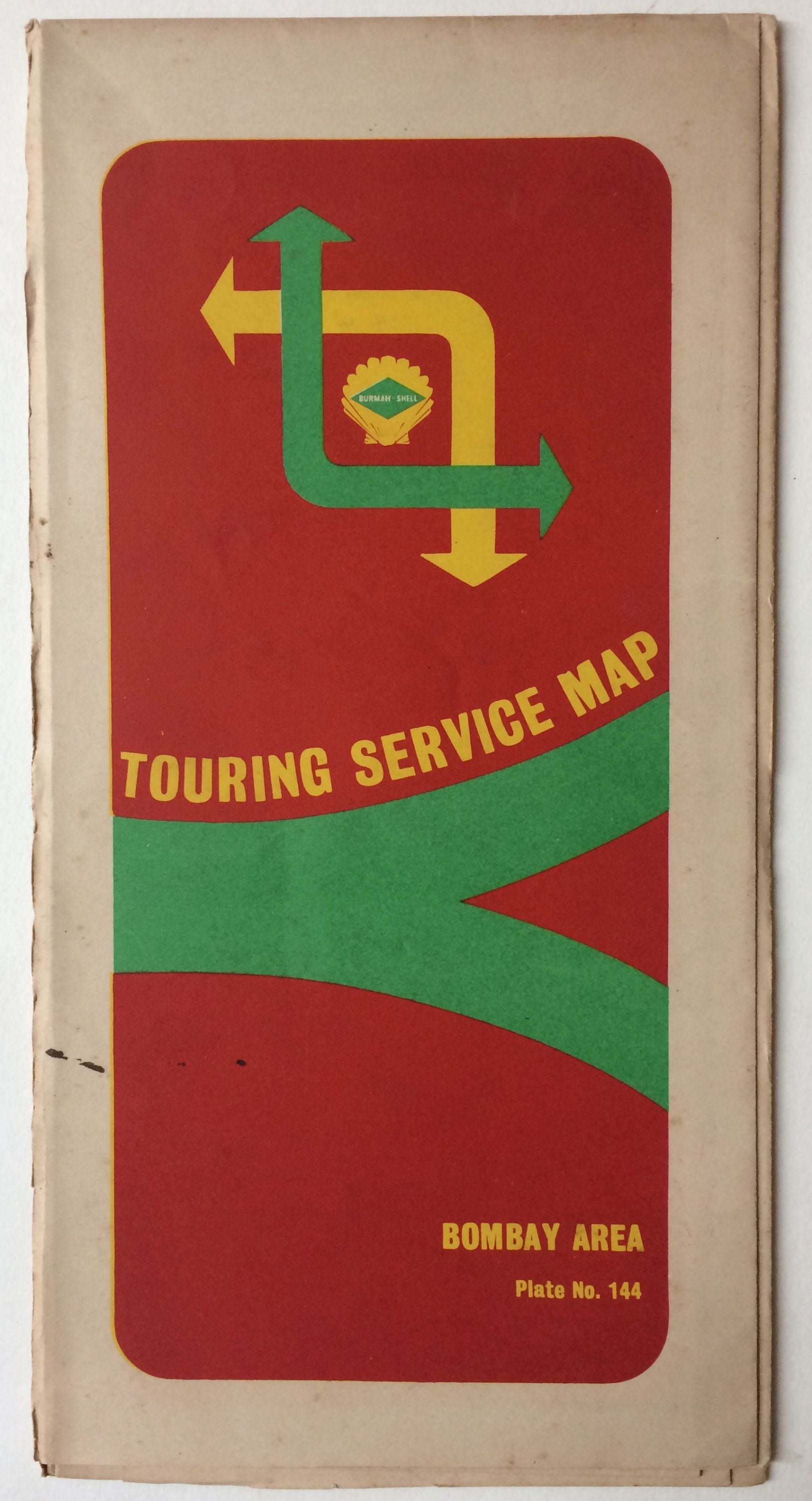
Binding: Unbound
Edition: First
Language: English
Price: $135.00
Item #281380
See all items by S. P. CHATTERJEE