
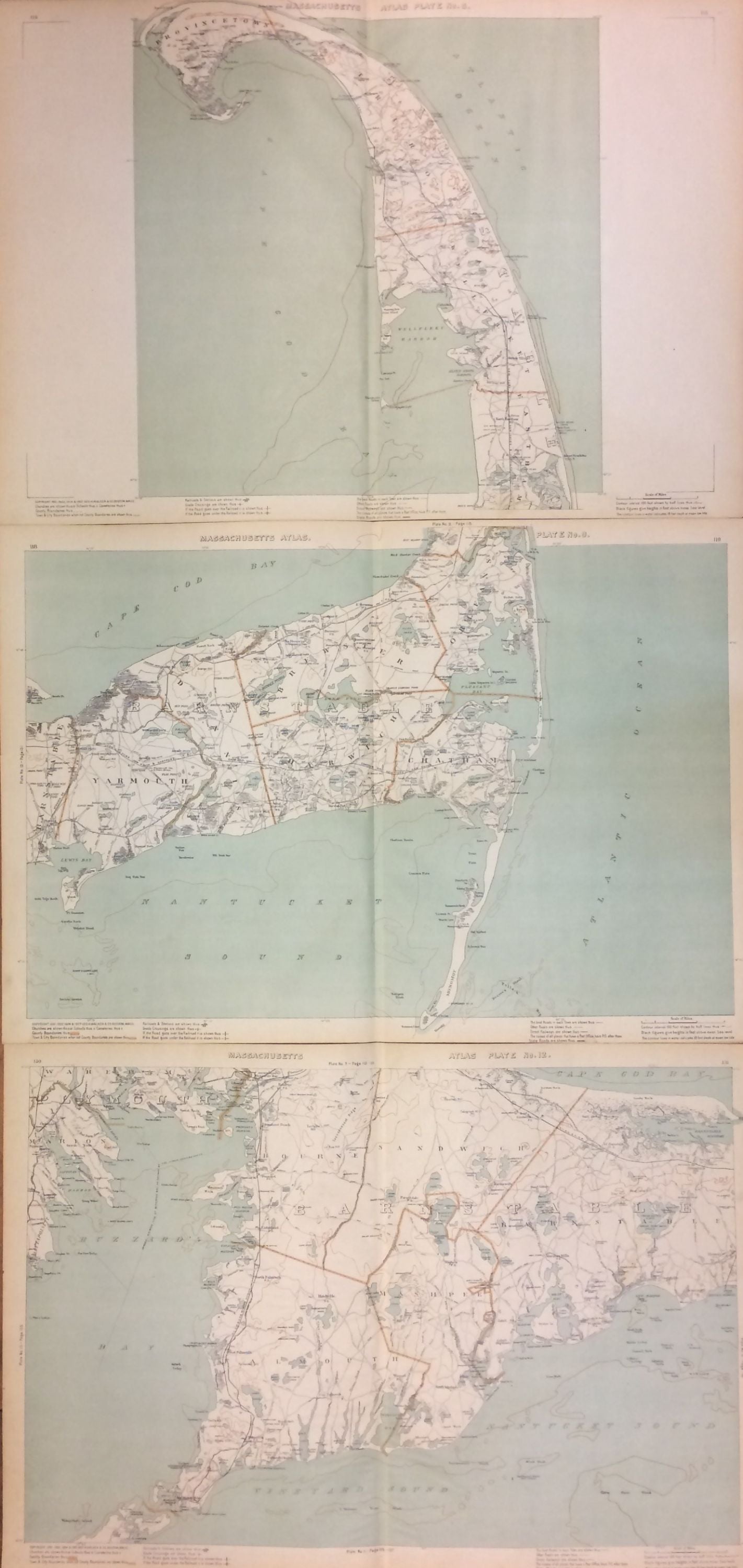
Massachusetts Atlas Triptych: Plates 8, 9, and 12
Boston: Geo. H. Walker & Co., 1907.
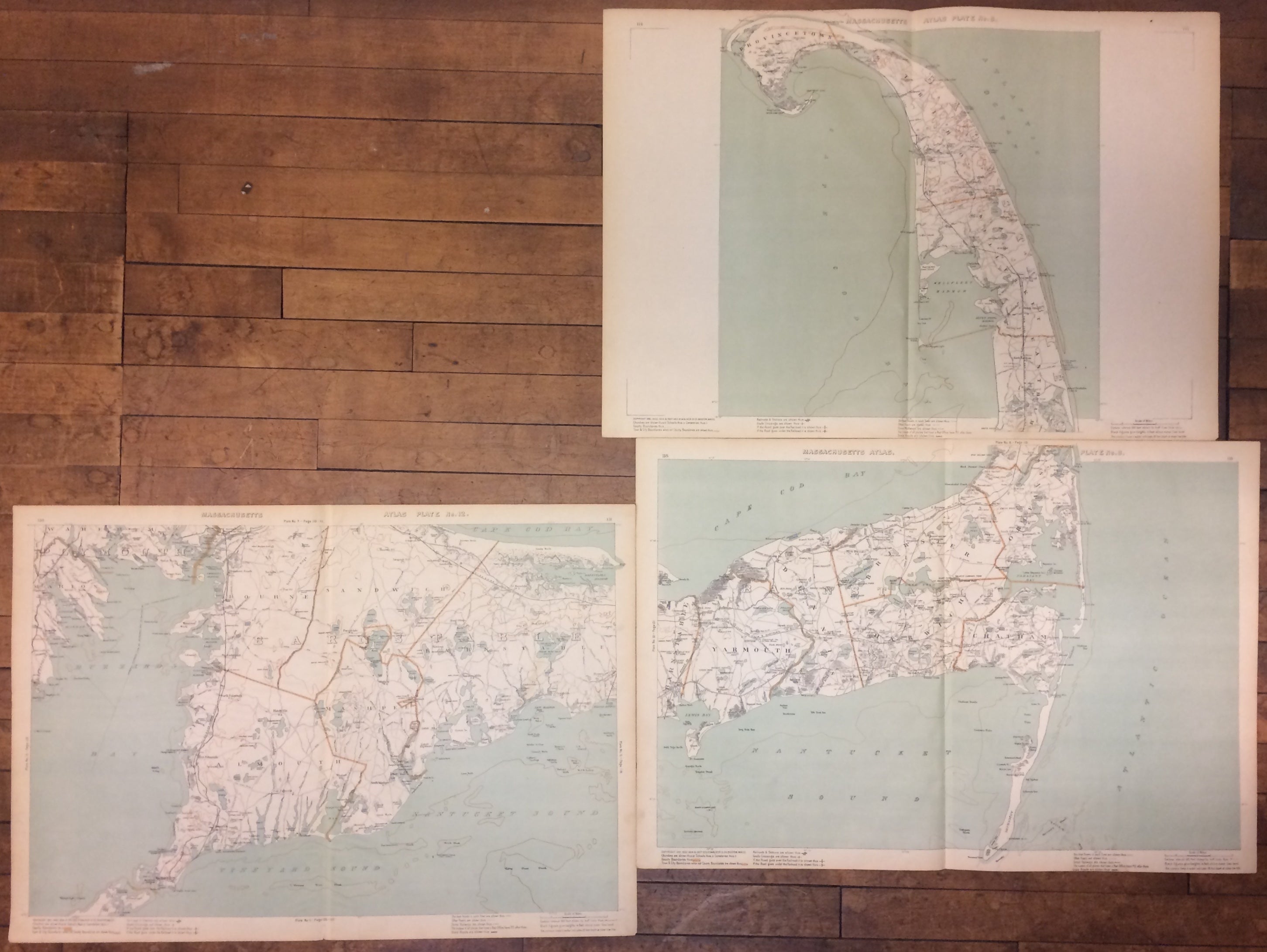
Three maps. Offset lithographs. Sheets measure 19.5 x 28 inches each. Each is in very good condition.
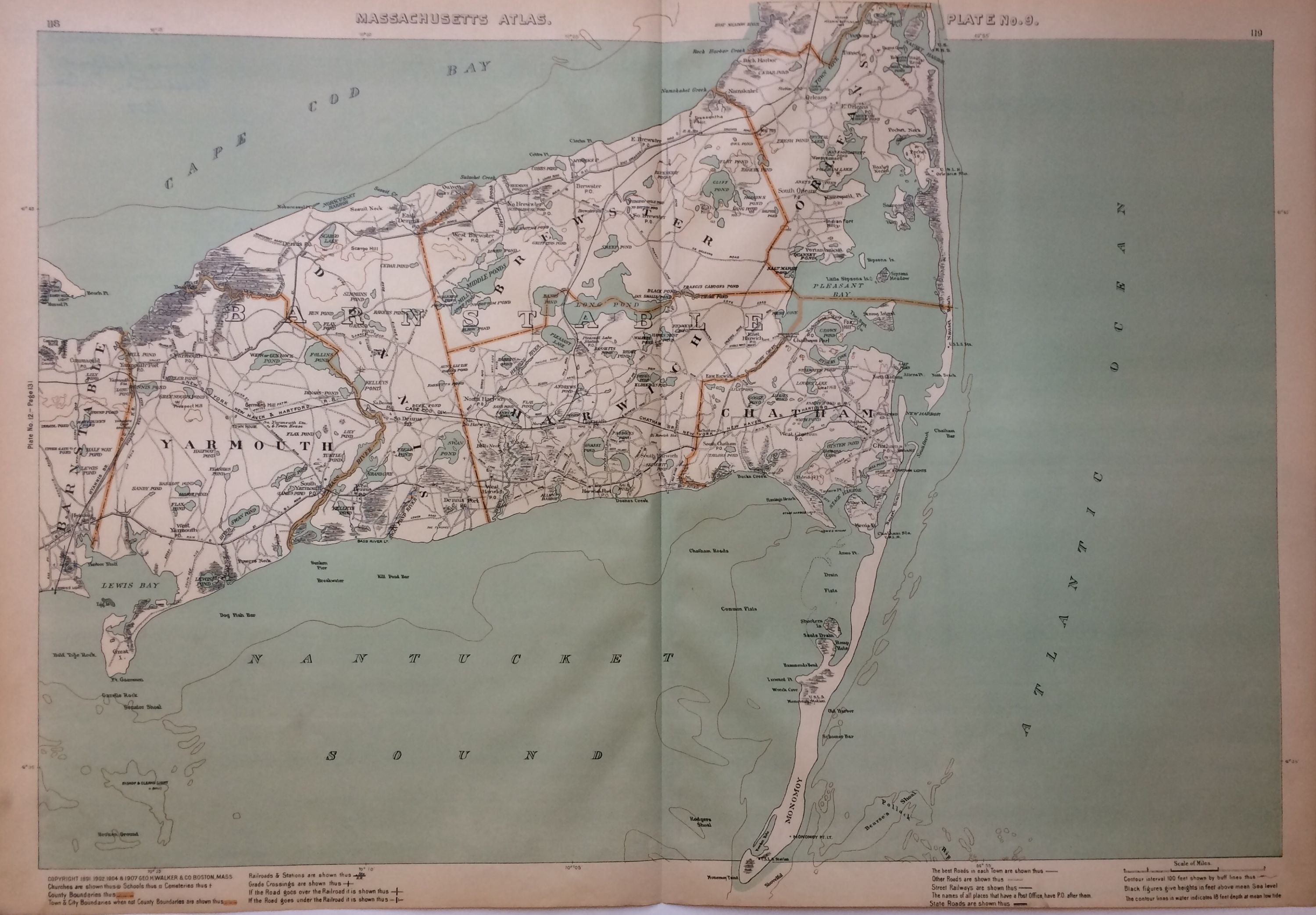
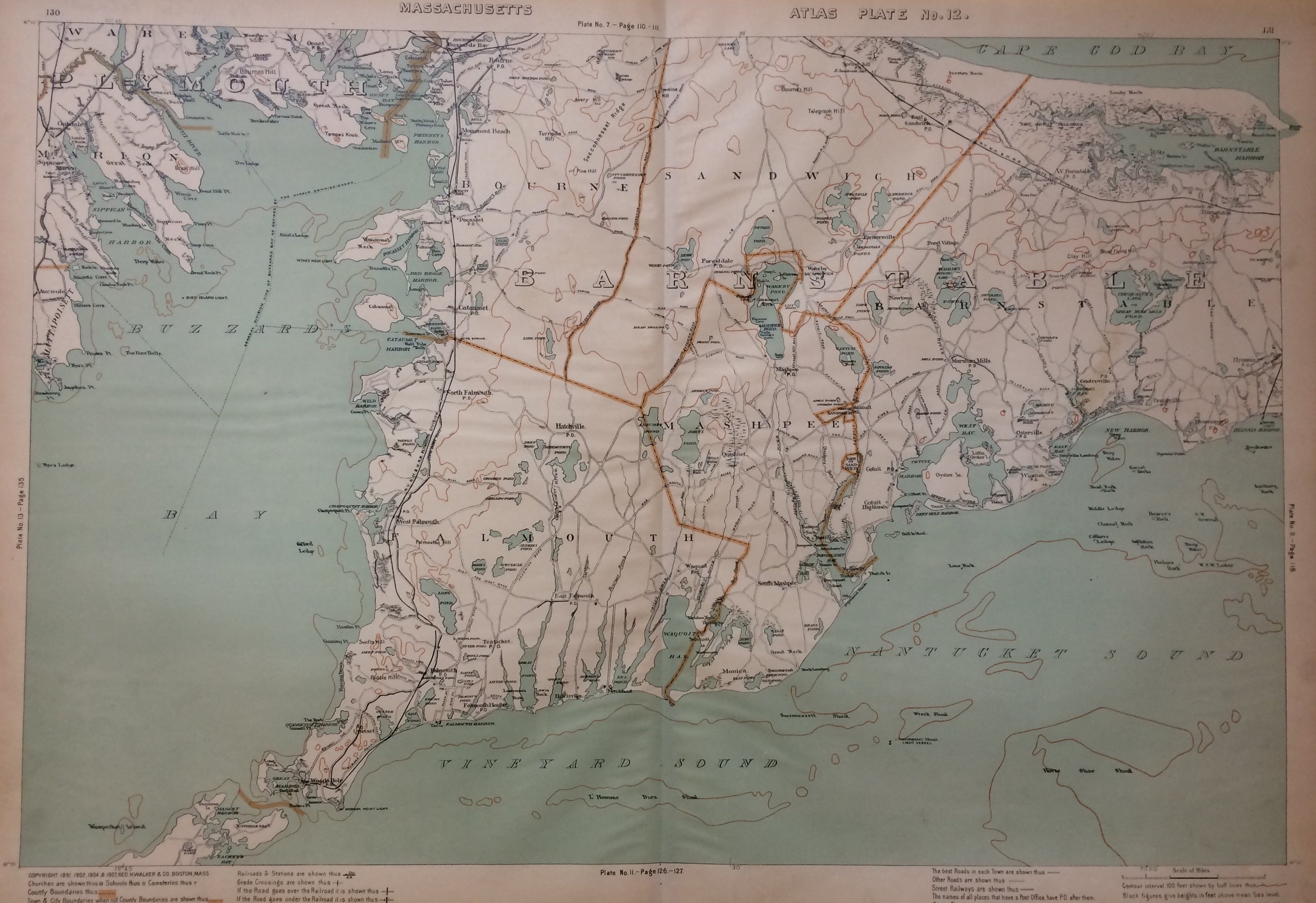
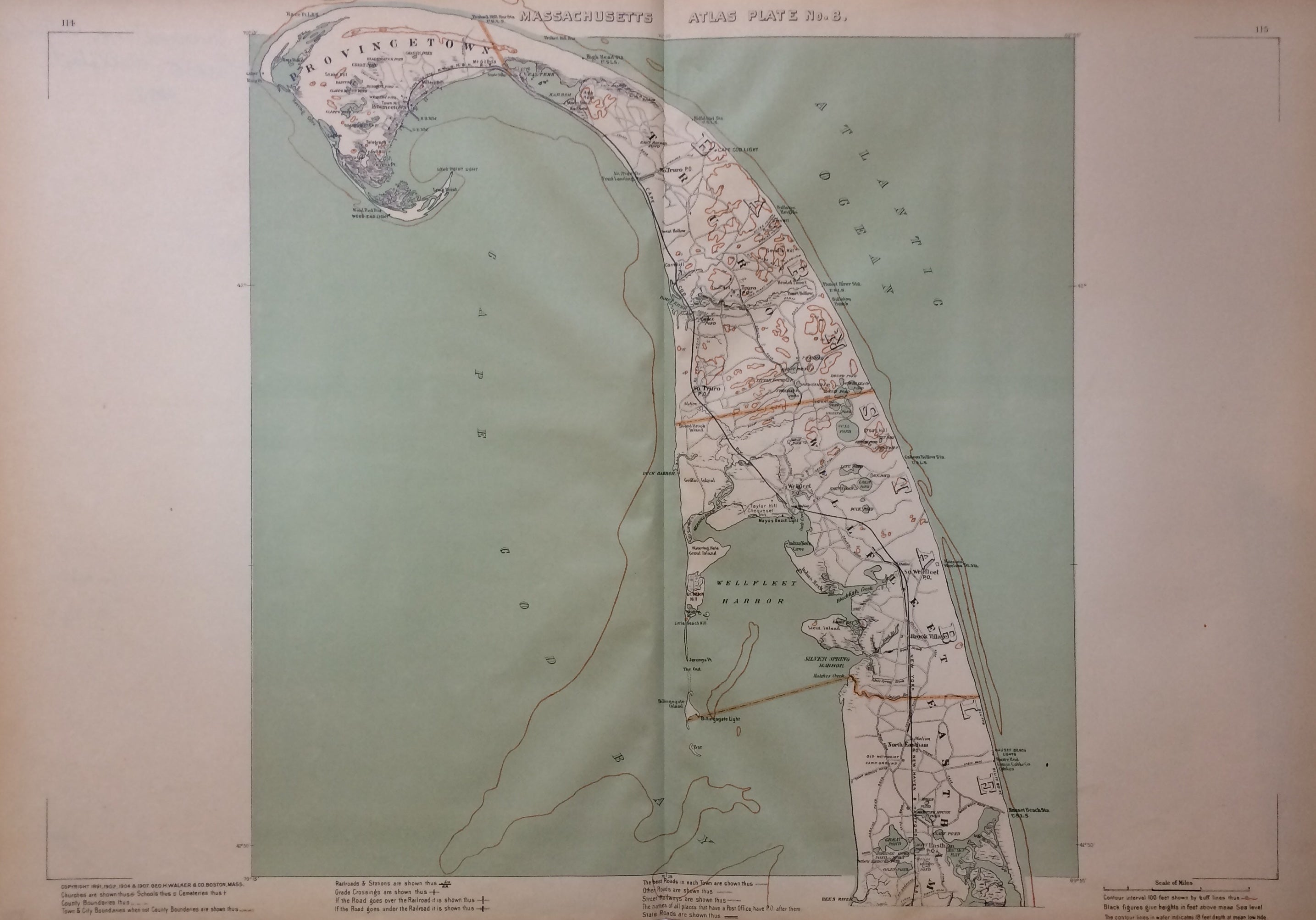
Large scale triptych of Barnstable County (Cape Cod) from mid-Cape to northern tip, from the Massachusetts Atlas. No. 8 shows Provincetown, Truro, Wellfleet, and Eastham; No. 9 shows Yarmouth, Dennis, Brewster, Harwich, Chatham, and Orleans; No. 12 shows Bourne, Sandwich, Barnstable, Mashpee, and Falmouth. George H. Walker & Company was a publishing firm in Boston in the late 19th and early 20th centuries. George H. Walker and Oscar W. Walker started the firm in 1880 and were known for travel maps of New England. This is a beautiful example of their work.
Binding: Unbound
Language: English
Price: $750.00
Item #279967