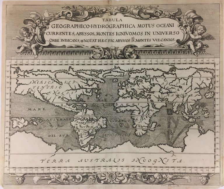
Tabula Geographico-Hydrographica Motus Oceani, Currentes, Abyssos, Montes Igniuomos In Universo Orbe Indicans, Notat Haec Fig. Abyssos Montes Vulcanios; (Volcanos and the Subterranean World Map)
Amsterdam: 1696.
Map. Engraving. Image 14" x 16 1/2". Page 14 1/2" x 17 1/4". In archival frame with French matting 20 1/2 x 23 inches.
Rare and unusual thematic world map on a Mercator projection with florid pediment title cartouche and symbols. Ocean currents, abysses in the sea and volcanoes on land are featured and continents are void of political detail. There are prominent Northwest and Northeast Passages. Repairs to lower margin, reinforcement to center fold. Kircher (1601-1680) was a Jesuit scholar, geographer, traveler, mathematician and engraver and issued a version of this map in 1665. This edition was issued by Johann Zahn in 1696, Shirley: 583. Johann Zahn was a philosopher based in Bavaria. A magical 17th century map with exceptional design.
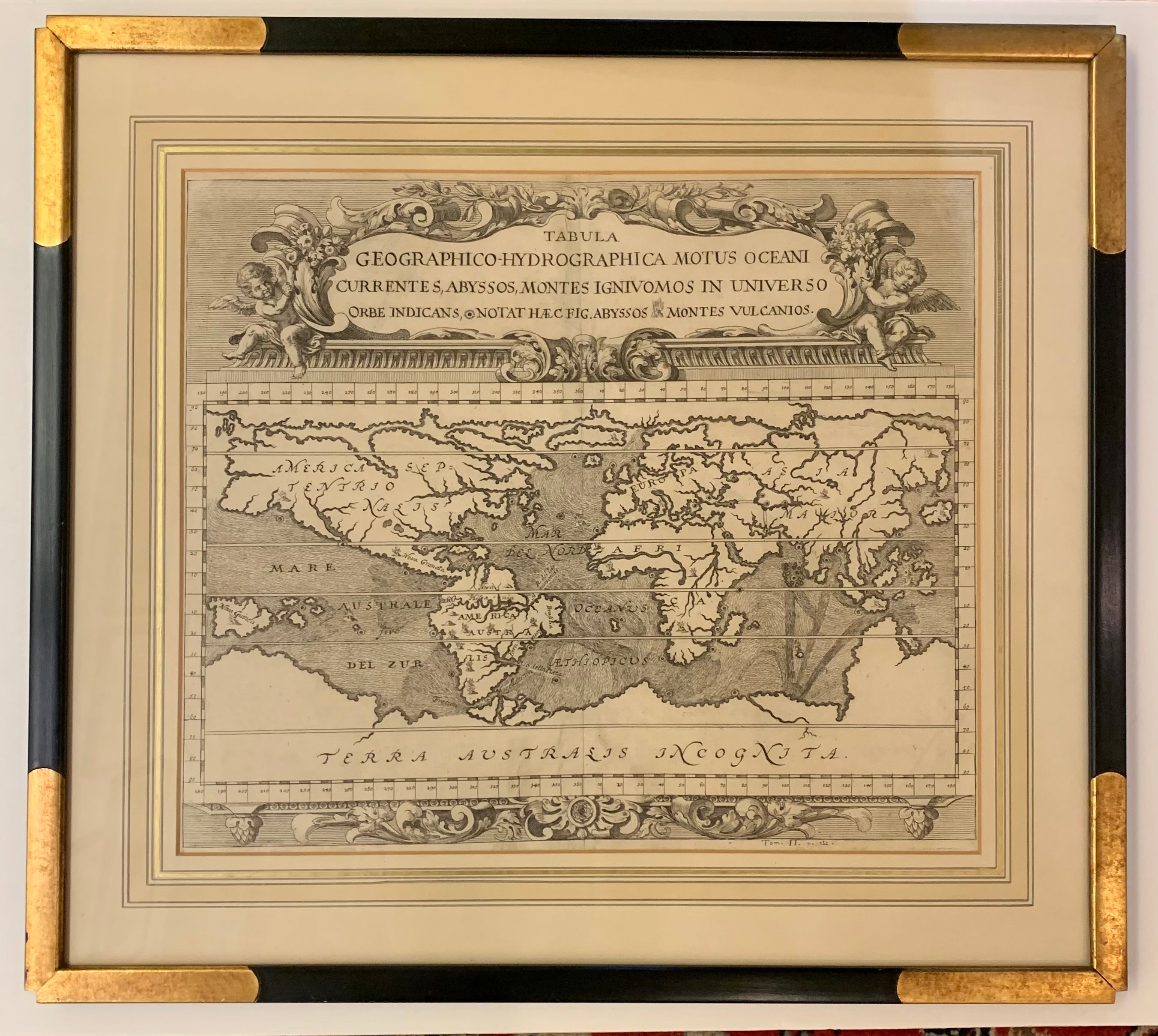
Binding: Framed
Language: Latin
Price: $2,500.00
Item #279240