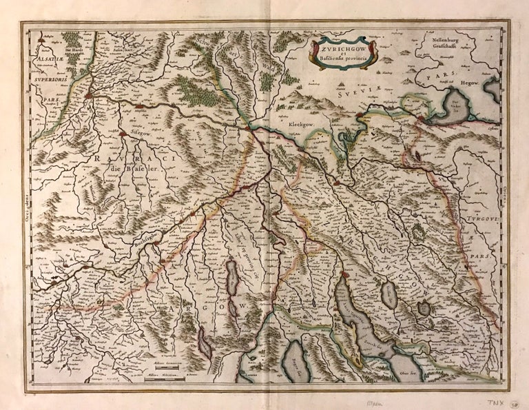
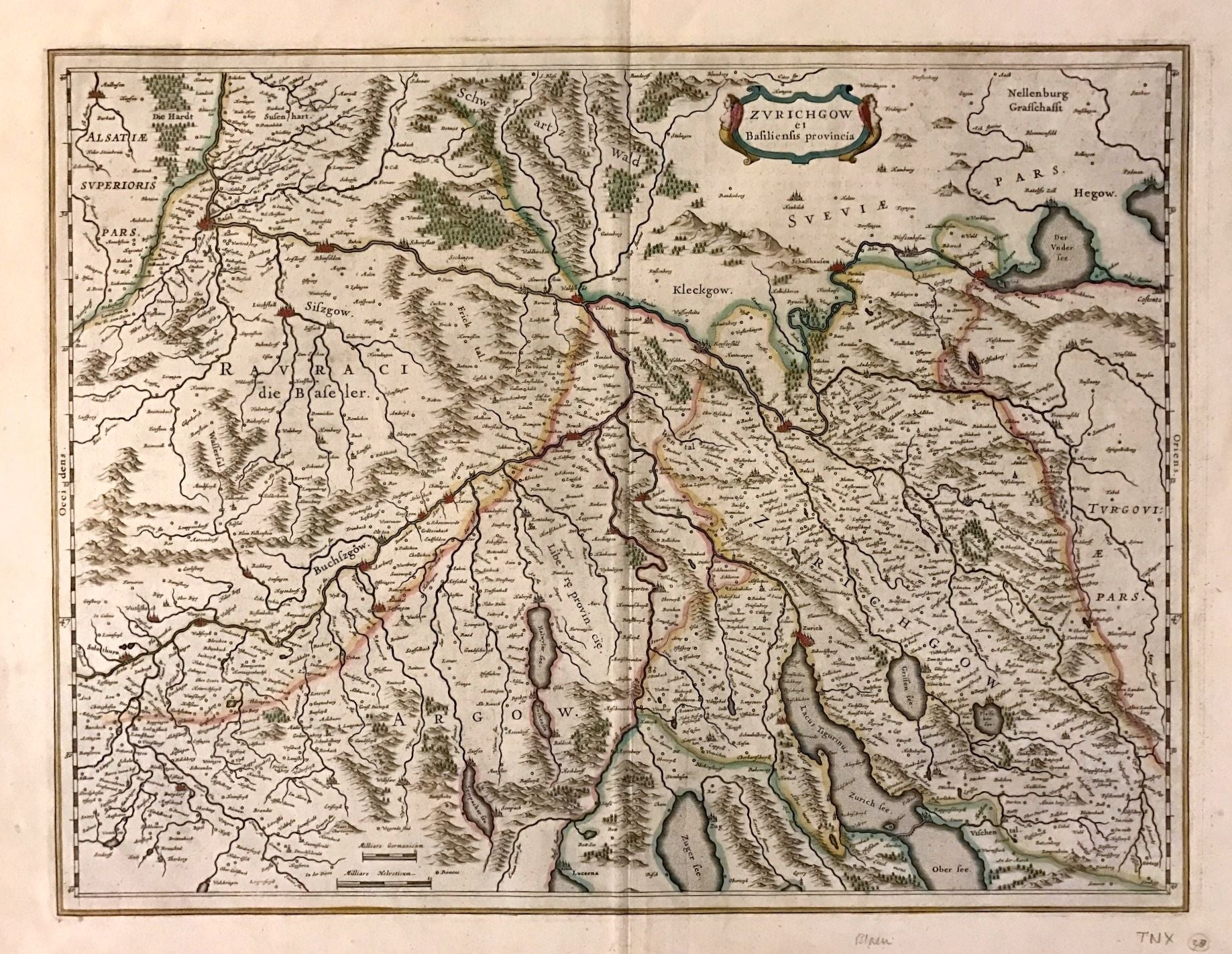
Zurichgow et Basiliensis provincia
Amsterdam.
Map. Engraving with hand coloring. Image measures 15" x 19.75".
This striking circa 1640 map by Willem Blaeu depicts the regions of Zurich and vicinity, Switzerland. The map covers northern Switzerland and extends from Mullhouse to the Obersee. The important towns of Basel, Lucerne, Zurich, Argow, and several others are noted in profile. The map also labels lakes, rivers and other topographic features with beautifully rendered mountains and forests. Latin text on verso provides interesting history and description of the region, beginning with ancient times. The map is in good condition with minor wear and toning along the original centerfold and minor foxing at places. Latin text on verso.
One of the most prolific Dutch mapmakers of his time, Willem Blaeu (1571-1638) started one of the most famous map publishing firms of the 17th century. It was at this time that the Dutch controlled the map trade, and their ornate and beautiful maps had immense popularity. Blaeu and his family worked out of Amsterdam and was instrumental in driving this dominance in his lifetime, and this legacy was continued by his sons.
Binding: Unbound
Language: English
Price: $385.00
Item #272634