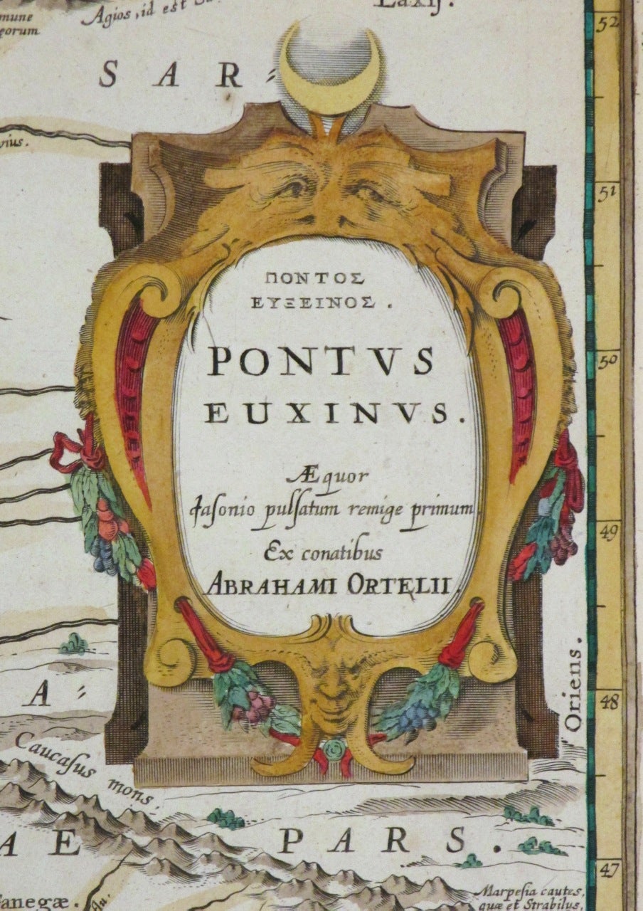
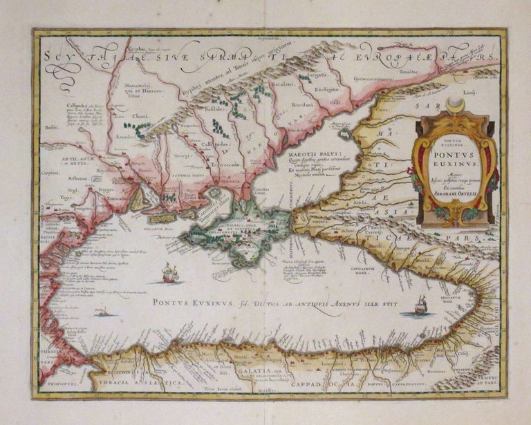
Pontus Euxinus
Amsterdam: Jansson, J.
Map. Hand colored engraving. Image measures 14.1/2" x 18 3/4".
This impressive map of the Black Sea and the Crimean Peninsula with its surrounding regions dates to circa 1650. Covers parts of the Ukraine, Russia, Georgia, Romania and Turkey. The map displayed detailed geographical and topographical features with mountains and forests beautifully rendered. Ships can be seen sailing in the Black Sea. A beautiful title cartouche adorns the right center. Published in Jan Jansson's historical atlas, based on an earlier map by Abraham Ortelius. Jan Jansson was part of a influential family of map publishers from the Netherlands throughout the 17th century and beyond. They were based in Arnhem then in Amsterdam. They were printers, publishers and booksellers. Major publications were under the joint ownership of the Jansson heirs and their printing empire. This is a beautiful example of his work.
Binding: Unbound
Language: English
Price: $750.00
Item #263940