
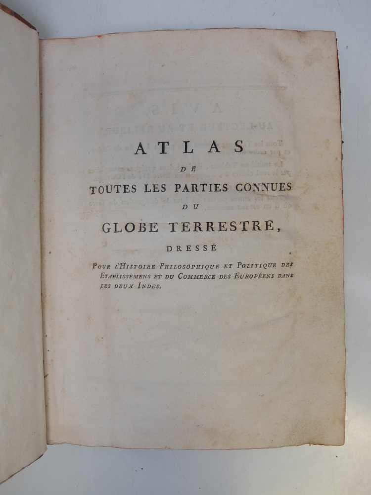
Atlas de Toutes les Parties Connues du Globe Terrestre
Geneva: J. L. Pellet, 1780.
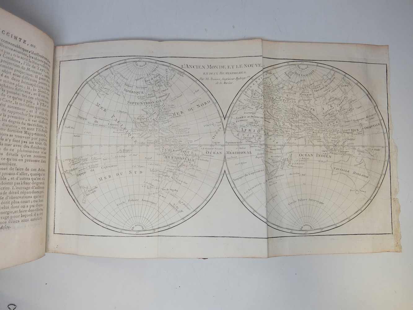
Quarto (10 1/2 x 7 3/4 inches); 28pp, 50 double-page or folding engraved maps by Rigobert Bonne, the index numbered to 49. Half brown morocco over marbled boards, five raised bands and gilt titling to spine. Gilt spine in 6 compartments. Title on spine in gold 'Atlas Du Globe Terrestre'. Red edges. Corners bumped. Minor toning and light scattered foxing throughout. Geneva: 1780.
Atlas volume for Abbe Raynal's "L'Histoire philosophique et politique des etablissements et du commerce des Europeens dans les deux Indes." Title-page provides no publication data. Maps and charts are in very good condition. Includes 2 world maps. Rigobert Bonne (1727-1795) was one of the most important cartographers of the late 18th century. He served as Hydrographer to France, and during his term, he produced a number of detailed and useful maps, particularly of coastal regions. His work is often devoid of decorative cartouches and compasses roses and marks a turn in European mapmaking away from decoration toward technical mapping.
Binding: Hardcover
Language: French
Price: $3,650.00
Item #243715