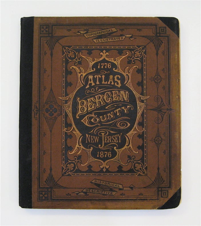
Atlas of Bergen County New Jersey, 1776-1876
Reading, Pennslyvania: C.C. Pease.
Folio. Atlas with 61 map-sheets plus lithographed views. 167 pp. Restored. Title page and table of contents missing. Advertisement from last page missing. Front board is brown pebbled cloth decoratively stamped with black and gilt. New cloth back strip and end papers. Book measures 17 1/2" x 14 3/4". Pages measure 17 1/4" x 14 1/2".
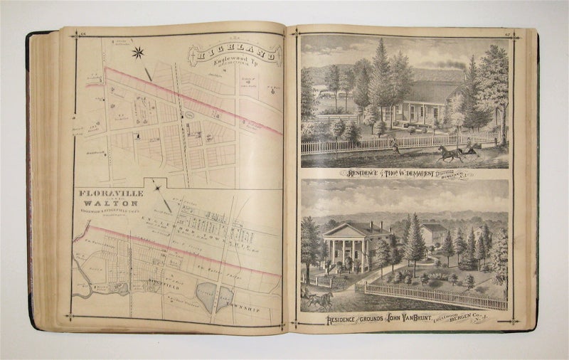
This magnificent, complete atlas provides an incomparable look into 100 years of Bergen County's history. Generally known as "Walker's Atlas" and in fact Walker's only cartographic production, the atlas contains 61 maps of a wide breadth, including, as described on the cover, "topographical, illustrated, historical, descriptive." The atlas begins with 8 maps of the world, including a beautiful railroad map of the U.S. Maps of Bergen County follow, with a number of lithographed views of prominent buildings, residences and locales scattered throughout. In addition, the atlas includes historical and statistical information about the county. Given the atlas's time frame, it emerges as a fascinating illustration of railroad development and consequent suburbanization in New Jersey. Many maps are labeled with landowners, attesting to the spread of development throughout the state. Demerest map has a hole in the title, some maps bear minor stains, holes, and foxing. The book has been restored with covers from separate editions (front is brown, back is green). In addition, the marbled end papers have been replaced. This atlas is one of the most desirable of the 19th-century New Jersey atlases and a worthy addition to a collection.
Language: English
Price: $2,500.00
Item #232916