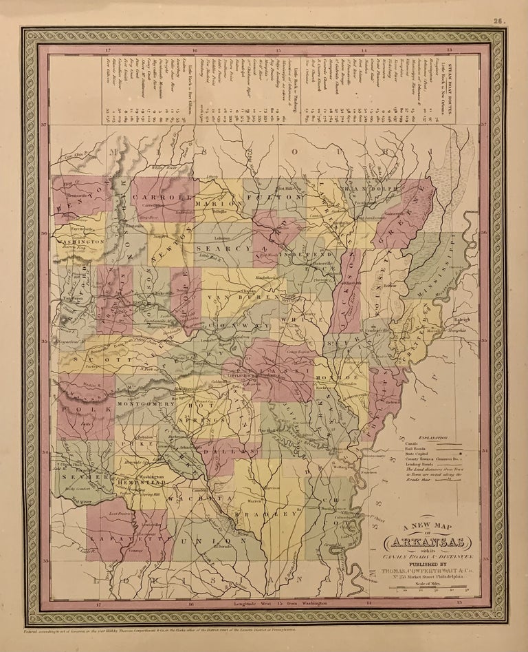
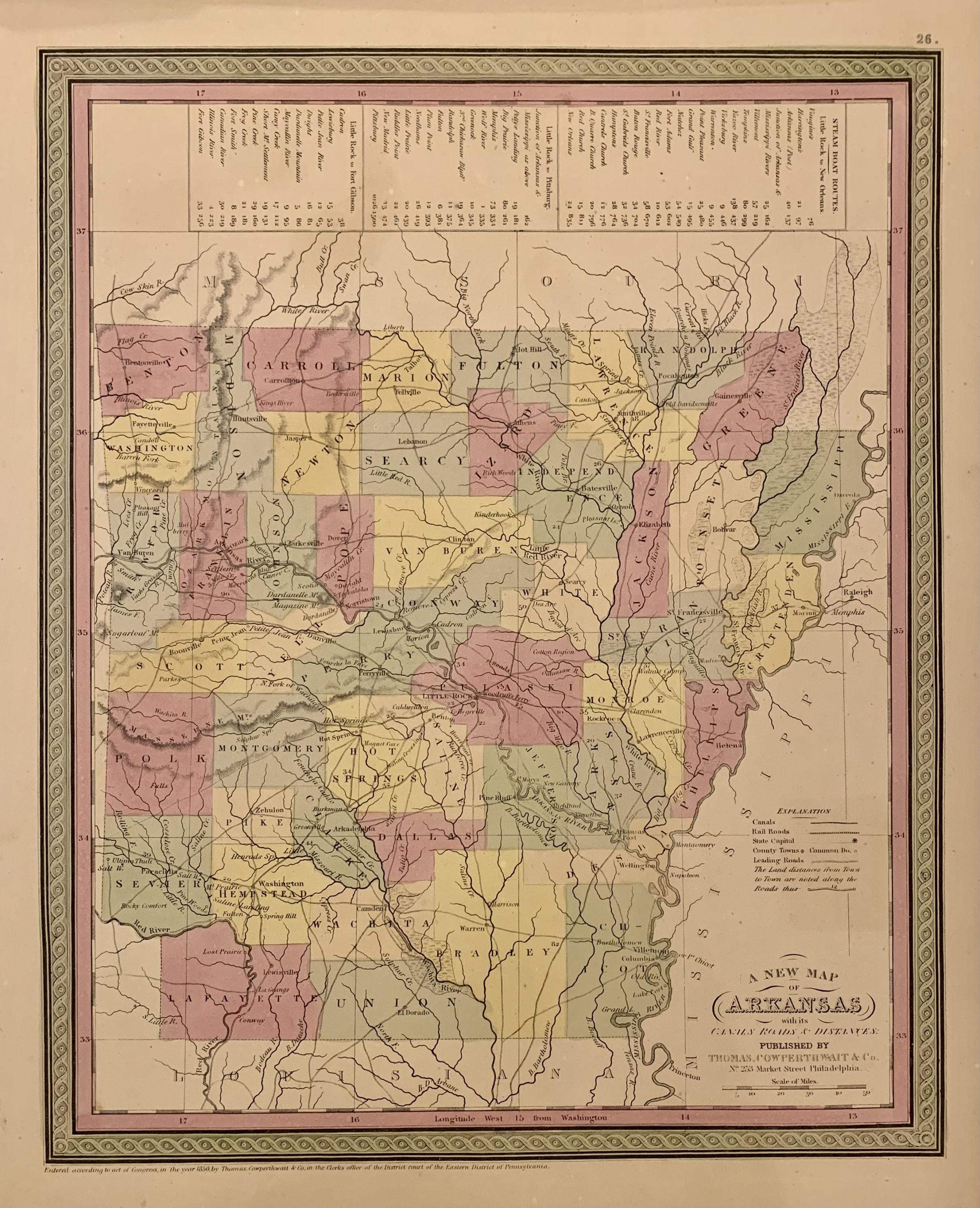
A New Map of Arkansas with its Canals Roads & Distances
Philadelphia: Thomas, Cowperthwait & Co., 1850.
Map. Engraving with original hand coloring. Image measures 14.5" x 11.75".
Concise map of Arkansas divided into counties showing railroads, major routes and towns. A statistical table lists steam boat routes. Published in "A New Universal Atlas". Thomas, Cowperthwait & Co. took over publication of S. A. Mitchell's important "Universal Atlas" in 1850, and continued to produce updated maps that were considered some of the best commercial cartography of the 19th century. Minor glue residue to top and bottom margins, stain to top edge.
Binding: Unbound
Condition: Very Good(+)
Language: English
Price: $125.00
Item #222555
See all items by COWPERTHWAIT THOMAS, Co