
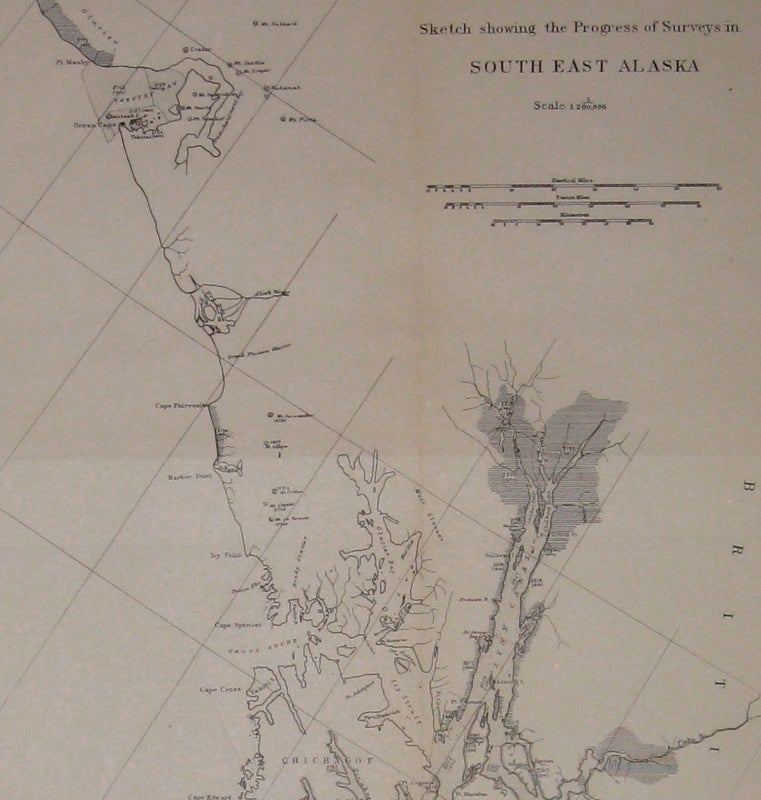


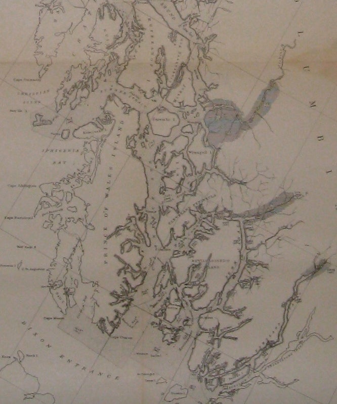
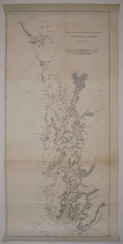
Sketch Showing the Progress of Surveys in South East Alaska
Coast and Geodetic Survey Report, 1896.
Map. Uncolored lithograph. Image measures 29.75" x 13 5/8".
Beautifully detailed chart of the Alexander Archipelago, from Cape Yakataga to the Dixon Entrance, including Juneau. This survey was made while Alaska was a "district" and around the time gold was discovered in neighboring Yukon Territory. The discovery prompted a large influx of settlers and encouraged further exploration and mapping of the area. Stain to lower right and minor aging along original folds.
Binding: Unbound
Condition: Very Good
Language: English
Price: $300.00
Item #218495
See all items by Coast, Geodetic Survey Report