
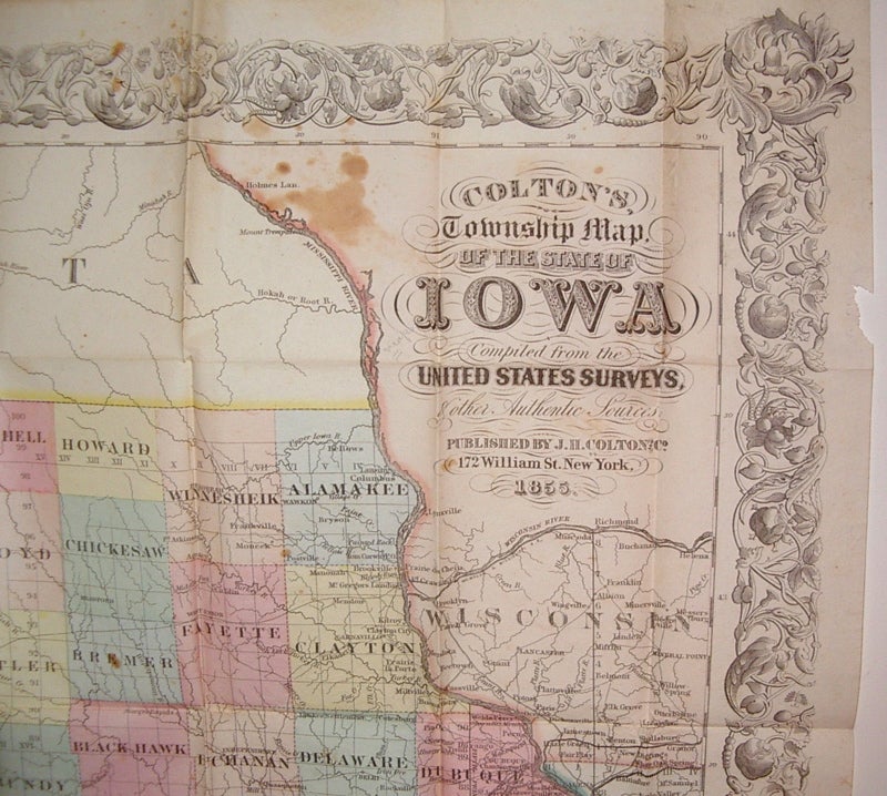

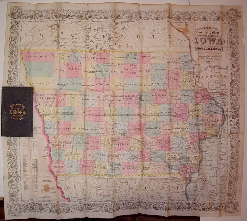
Colton's, Township Map of the State of Iowa Compiled from the United States Surveys, & Other Authentic Surveys
New York: J.H. Colton & Co., 1868.
Case map. Engraving with original hand coloring. Image measures 25" x 35".
Nice folding pocket map of Iowa. Includes a table of population by township. Some scattered staining and a small chip to upper right edge. Minor aging along edges. Booklet is intact with original hinging. Minor staining from glue. Owner's signature (George Clark) in ink on right edge of map and also on inside cover. The Colton family was one the most prolific and successful publishers of maps and atlases in the United States. J.H. Colton (1800-1893) founded his business in NYC in 1831.
Binding: Hardcover
Condition: Very Good
Language: English
Price: $750.00
Item #206960