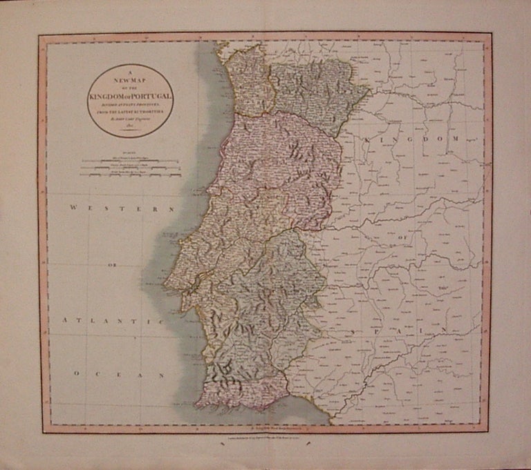
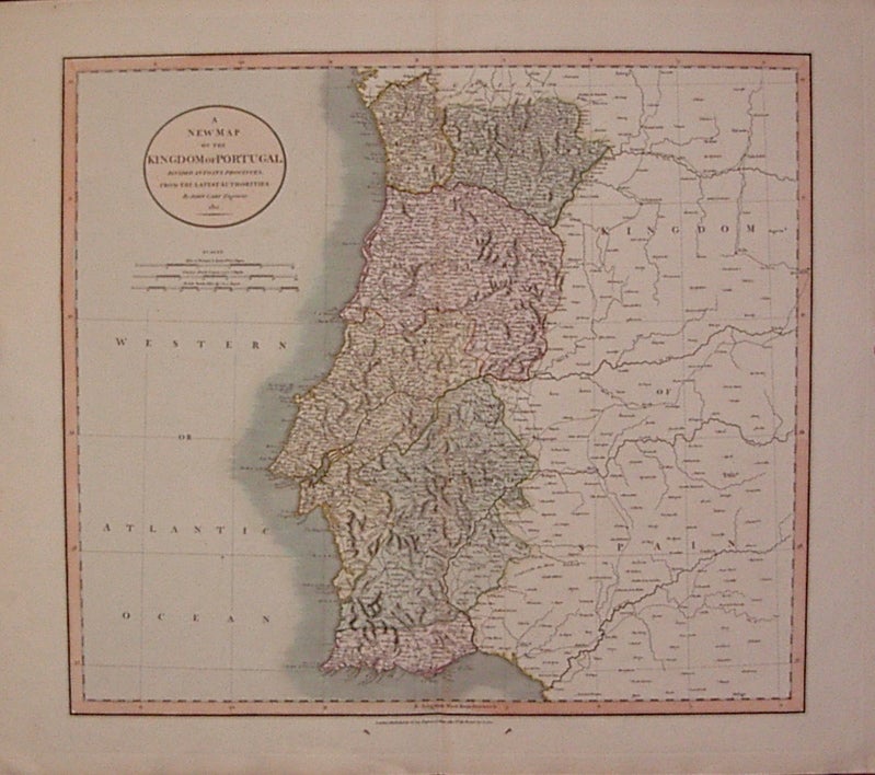
A New Map of the Kingdom of Portugal Divided into its Provinces
London: John Cary, 1811.
Map. Engraving with hand coloring. Image measures 18" x 20".
Beautiful map of Portugal and part of Spain. Full original margins, slight mat burn along upper right edge, image unaffected. Small ink stains in bottom margin.
John Cary (1754-1835) was a British cartographer and engraver. His highly detailed and accurate maps mark a turning point from the earlier emphasis on decoration toward a greater emphasis on information. This map is a fine example of Cary's work.
Binding: Unbound
Condition: Very Good
Language: English
Price: $200.00
Item #206771
See all items by John CARY