
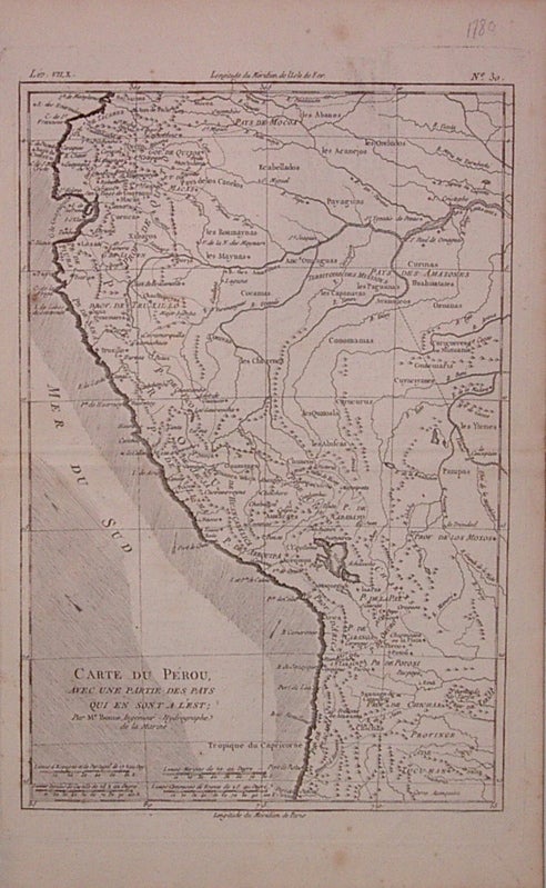
Carte du Perou, avec une partie des Pays qui en sont a l'Est
Paris: Bonne, Rigobert, 1780.
Map. Uncolored copper plate engraving. Image measures 12.5" x 8.5".
Map of Peru and some of Ecuador, including Lake Titicaca, Lima, Cuzco and Quito. Minor scattered foxing.
Binding: Unbound
Condition: Very Good
Language: English
Price: $150.00
Item #204814
See all items by Rigobert BONNE