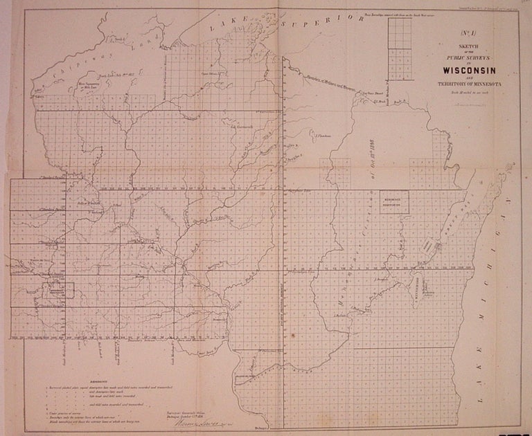
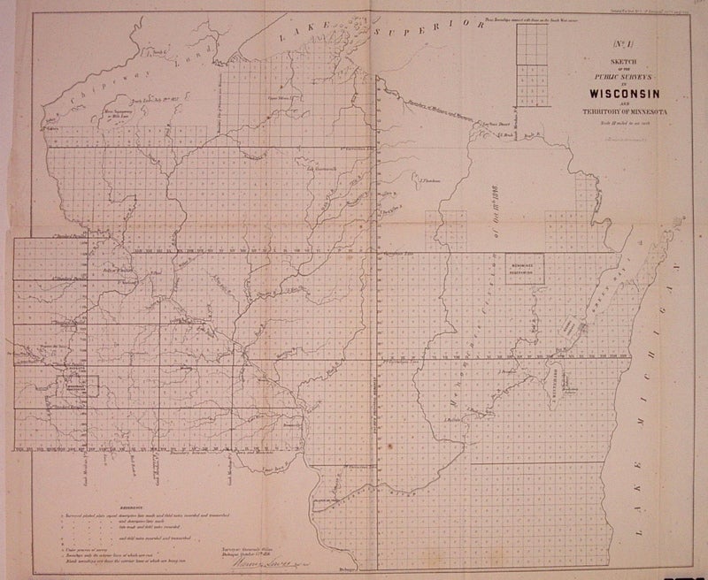
(No. 1) Sketch of the Public Surveys in Wisconsin and Territory of Minnesota
New York: Ackerman Lith. 1856.
Map. Uncolored lithograph. Image measures 17.25" x 21".
Nice map of Wisconsin and Minnesota illustrating the progress of public surveys. Denotes waterways, Indian reservations, and townships. Left margin cropped, minor toning along folds and light scattered foxing.
Binding: Unbound
Condition: Very Good(+)
Language: English
Price: $100.00
Item #203826
See all items by Lewis WARNER