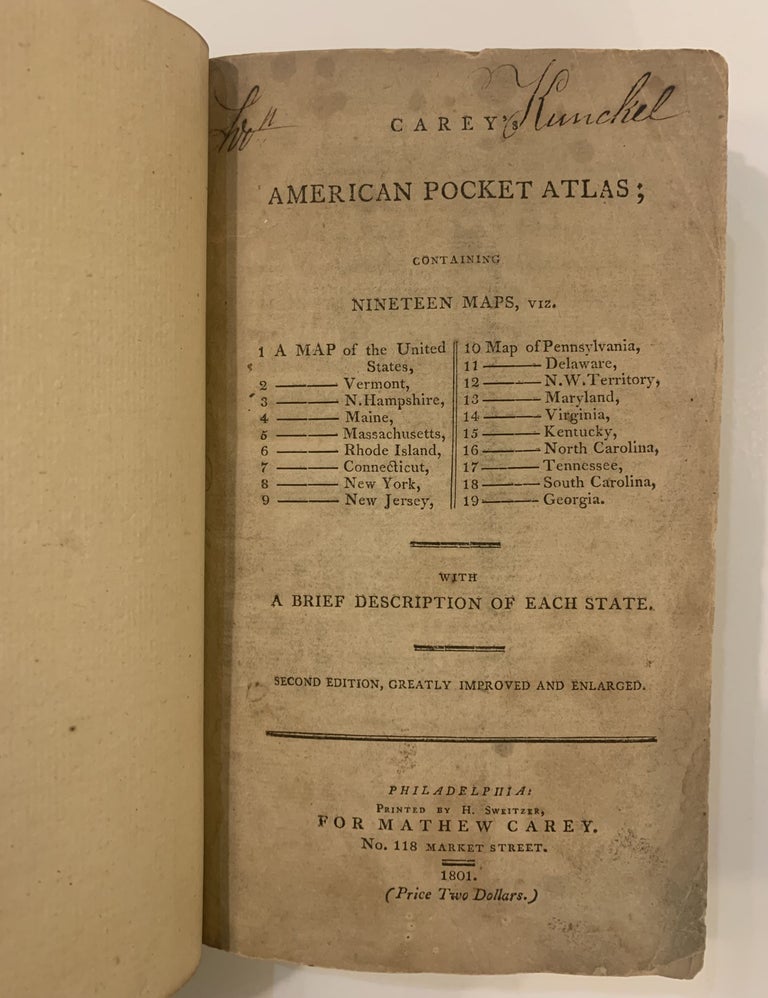
Carey's American Pocket Atlas; Containing Nineteen Maps.
Philadelphia: Carey, 1801.
Second Edition, Greatly Improved and Enlarged. 19 double-page folding maps. 2 folding tables. [8], 114pp. of text. 8vo, 1/2 modern calf, leather label; (light foxing, including most of the maps; tables are foxed and dampstained, map of Massachusetts lacks part of blank margin). Philadelphia: Printed by H. Sweitzer for Mathew Carey, 1801.
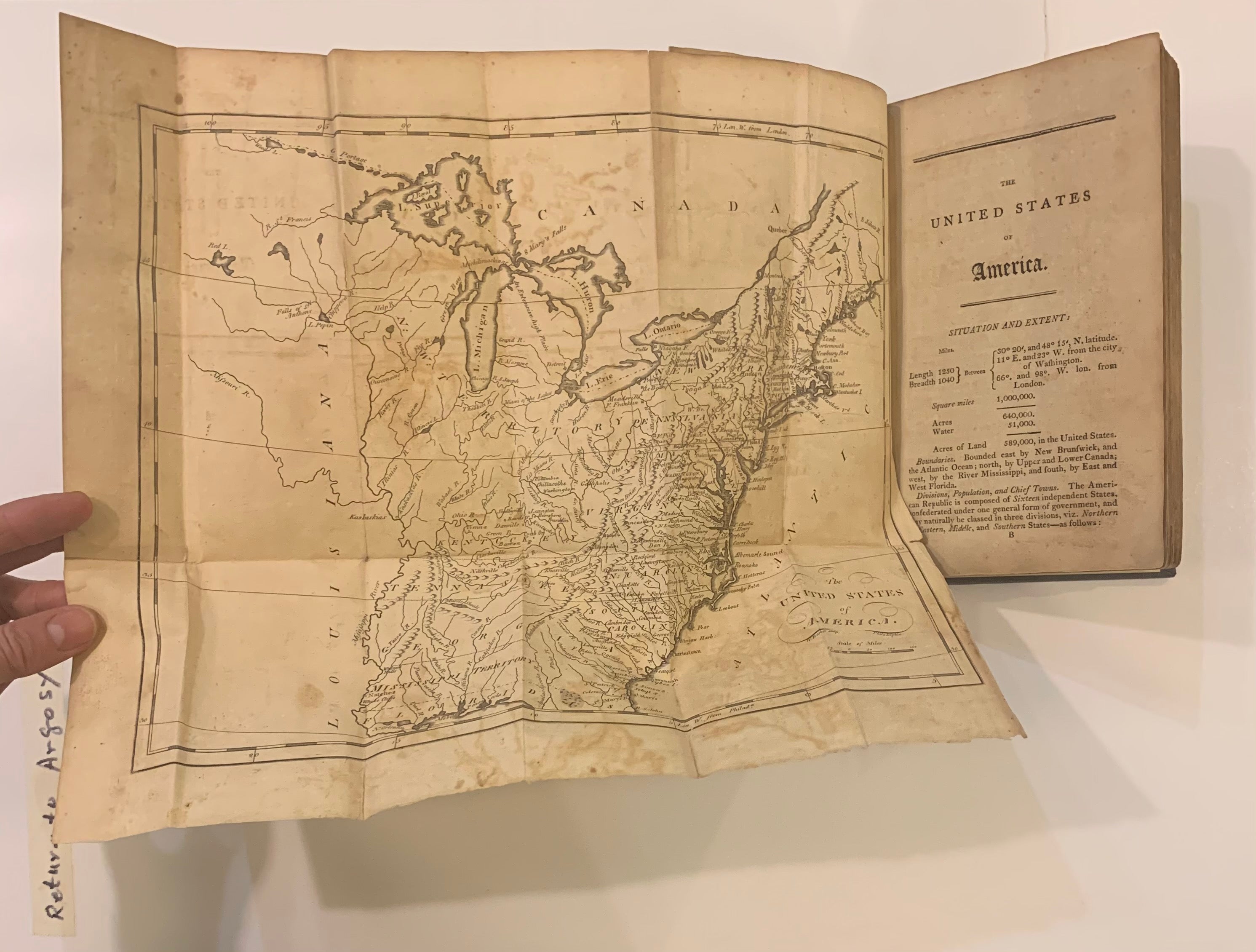
Contains a large map of the United States and detailed maps with cities, towns, rivers and roads of the following: Vermont, New Hampshire, Maine, Massachusetts, Rhode Island, Connecticut, New York, New Jersey, Pennsylvania, Delaware, the Northwestern and Indiana territories, Maryland, Virginia, Kentucky, North Carolina, Tennessee, South Carolina, and Georgia. Each chapter contains extensive geographical information on the above states and territories. The first table is a revealing Census of the United States for 1801, complete except for Tennessee and part of Maryland. Indians are not included in the census, and slave totals are 869768. The second table is a Summary of the Value of Exports from the several states, for Ten Years. Shaw & Shoemaker 277.
Binding: Hardcover
Condition: Very Good
Language: English
Price: $8,500.00
Item #168453