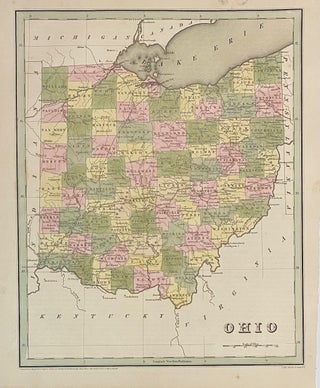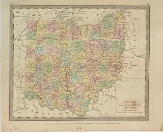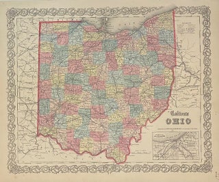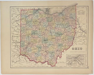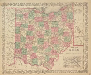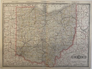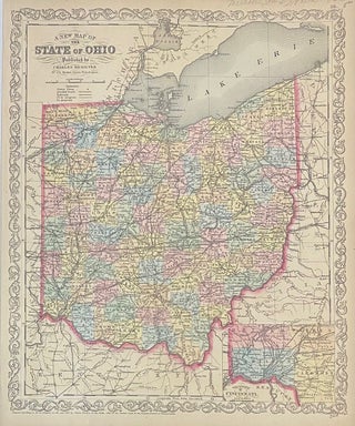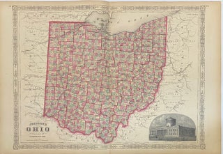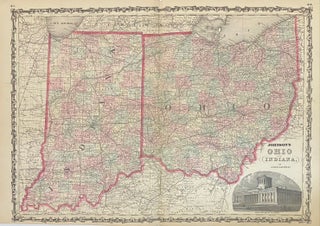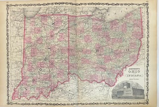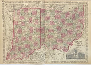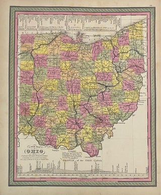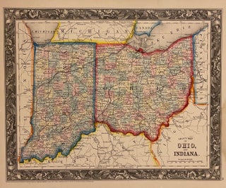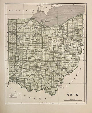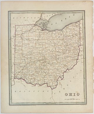
Ohio
Boston: T.G. Bradford, 1838. Map. Engraving with original hand colored outline. Image measures 14" x 11 1/4". Nice early map of Ohio divided into counties and townships showing major routes, railroads and geographical details. This is the first edition of this map. published in 1838. Minor overall wear, pinholes to right edge, faint scattered foxing. T.G. Bradford (1802-1887) was a Boston based publisher. He worked as assistant editor of the American Encyclopedia before entering the field of map making. He..... More