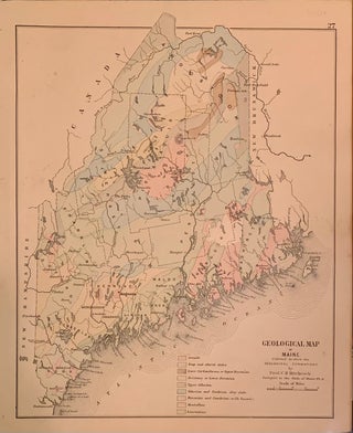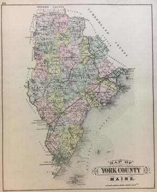
Map of York County
F. Bourquin, 1884. Map. Engraving with hand coloring. 15.25 x 12.5 inches. Repairs to margins lower right. York County is the southwesternmost county in the state of Maine, along the state of New Hampshire's eastern border. From Colby's Atlas of the State of Maine, nicely engraved by William Bracher. More