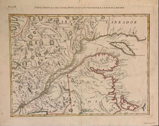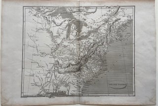
United States
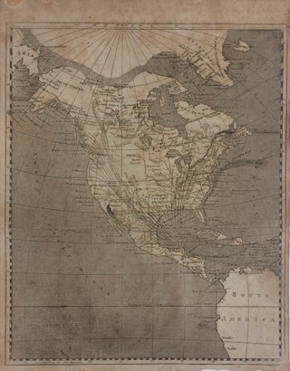
London: Longman, Hurst, Rees & Orne. Map. Original uncolored engraving. Image measures 10 1/4" x 12 1/2". This detailed map of the United States depicts the eastern half of the country, including the Great Lakes, Appalachian Range, and the Mississippi Delta. Published shortly after the Louisiana Purchase, the map features the area west of the Mississippi in lesser detail, noting Native American tribes and villages, rivers, and cities. The Florida peninsula is not depicted. Cities, isles, bodies of water, mountain..... More