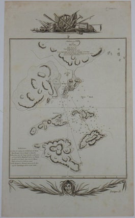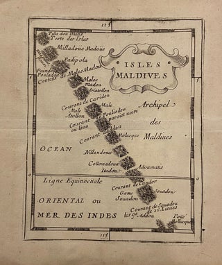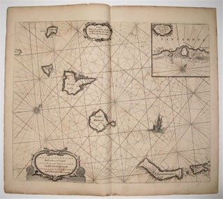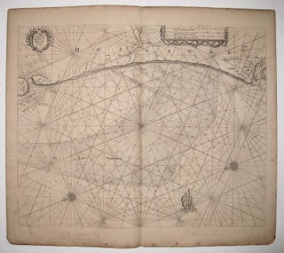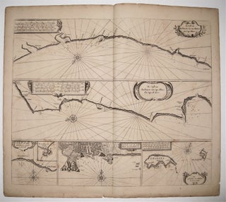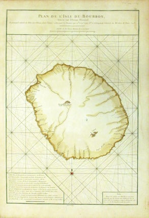
Plan de l'Isle de Bourbon, Situee sur l'Ocean Oriental.
Paris: Le Neptune Oriental. Sea chart. Copper plate engraving with original hand color. Image measures 19 x 13". This beautiful map of the Isle of Bourbon or modern day Reunion dates to 1775. It covers the entire island, noting coastal details and some inland topography. The sea chart is covered with rhumb lines throughout and depicts a very remote region of the Indian Ocean. Text in the lower left describes the history, including its discovery and naming of the island..... More