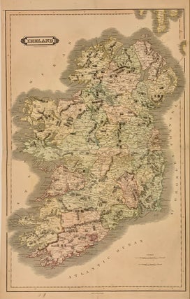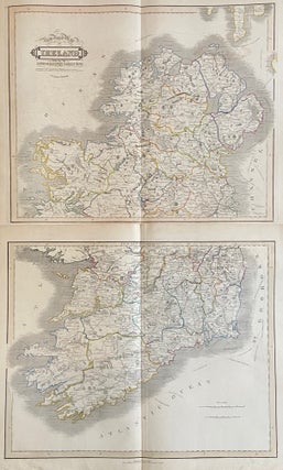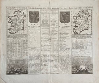
Carte du Gouvernement Civil et Militaire avec l'Etat des Officiers du Royaume d'Irlande
1719. Map. Engraving Image 13 1/2 x 18 1/4 inches 16 3/4 x 20 inches. Some foxing and overall toning otherwise in good condition. Irish civil and military government is featured with a pair of maps of Ireland, one in each corner, representing the kingdom as a whole and broken into its four Provinces. Next to these are the Arms of the Kingdom of Ireland and the United Kingdom of Great Britain. In the bottom corners, two vignettes show the..... More