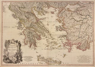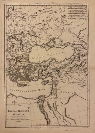
Imperii Romani Distracta Pars Orientalis
Paris: Rigobert Bonne, 1780. Map. Uncolored engraving. Image measures 14" x 9 1/4" This map, published by Bonne in 1780, depicts the eastern extent of the Roman Empire. The region between the Mediterranean and Black Seas are extensively labeled. Pictorial elevations are rendered throughout as well as town names, rivers, and major routes. The map is in very good condition, with some wear and toning to edges. Rigobert Bonne (1727-1795) was one of the most important cartographers of the late..... More