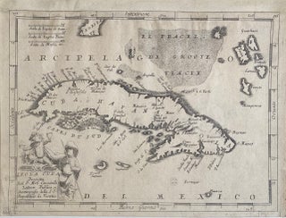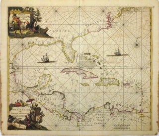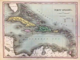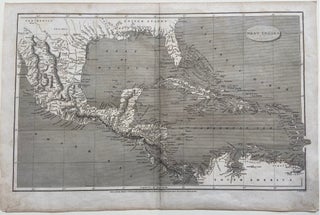
West Indies
London: Longman, Hurst, Rees & Orne. Map. Original uncolored engraving. Image measures 10" x 16". This detailed map of the West Indies covers the southern portion of the US extending to the Northern coast of South America. Includes Mexico, Central America, the Gulf of Mexico, the Florida Peninsula, and the Caribbean Sea. Cities, isles, bodies of water, mountain ranges and coastal features are labeled. The map is in good condition. Minimal wear along original folds. Minor stains to lower margin..... More