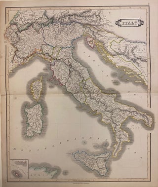
A New Map of Italy, Including the Islands of Sicily, Sardinia, and Corsica with the Post Roads
London: John Cary, 1811. Map. Engraving with original hand color. Image measures 18" x 20". Published in London in 1811, this highly detailed double-page map of Italy features beautiful hand-colored outline showing provinces and kingdoms. Cities, towns, rivers, coastal features, topographical features, and postal roads are labeled. Some foxing and toning but otherwise in good condition with full margins. John Cary (1754-1835) was a British cartographer and engraver. His highly detailed and accurate maps mark a turning point from the..... More