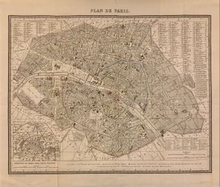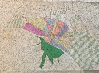
Plan de Paris
Paris: Institut Geographique National, 1956. Map. Lithograph with hand coloring. 40 1/2 x 50 1/2 inches. Large scale map of Paris and surrounding arrondissements. Manuscript notes in color with accompanying hand written notes,by the directorate of urban planning and technical services of topography and urban planning. Also includes the surrounding Bois de Boulogne and part of the Bois de Vincennes. Folded as issued, some paper clip rust and stains but otherwise in good condition. The Institut national de information geographique..... More