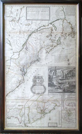
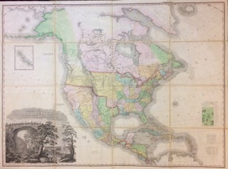
A New and Exact Map of the Dominions of the King of Great Britain... Containing Newfoundland, New Scotland, New England, New York, New Jersey, Pensilvania, Maryland, Virginia and Carolina. According to the Newest and most exact observations by Herman Moll Geographer
London: T. Bowles, 1731. Map. Copper plate engraving with original hand outline color. Image measures 40.75 x 24.75 inches. Floating in original frame with conservation glazing. Beautiful early map of North America. The 'Beaver Map' as it is affectionately known was first published in 1715 to document the colonial boundary disputes in North America between Britain and France as outlined in the Treaty of Utrecht. France ceded Newfoundland, Nova Scotia, the Hudson Bay territory, and the island of St. Kitts..... More
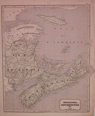
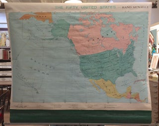
![Item #243962 [Case of Large School Maps]. RAND MCNALLY, CO](https://argosybooks.cdn.bibliopolis.com/pictures/243962.jpg?width=320&height=427&fit=bounds&auto=webp&v=1375459883)
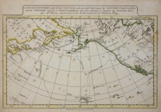
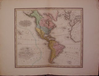
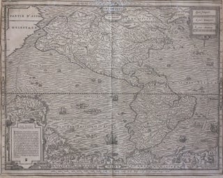
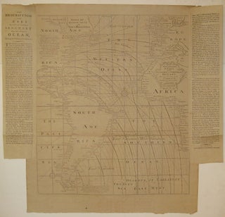
![Item #242940 Mappa A. [Western Hemisphere.]. Girolamo TASSO](https://argosybooks.cdn.bibliopolis.com/pictures/242940.jpg?width=320&height=427&fit=bounds&auto=webp&v=1371064883)