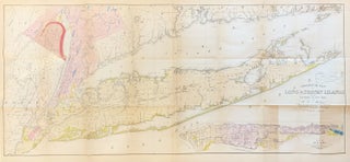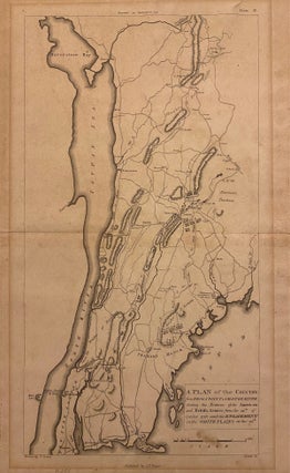
A Plan of the Country from Frog's Point to Croton River shewing the Positions of the American and British Armies from the 12th of October 1776 until the Engagement on the White Plains on the 28th.
Philadelphia: C. P. Wayne, 1807. Map. Uncolored engraving. Sheet measures 17 3/8" x 11". This scarce 1807 Revolutionary War-era map extends from Harlem in Manhattan, New York City north as far as Croton-on-Hudson. Focusing on the strategic area on the west bank of the Hudson River, the map indicates the changing positions of the American and British armies from October 12 to 28, 1776 between Frog's Point to Croton River to eventually join the Battle of White Plains. The British..... More