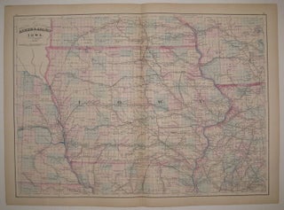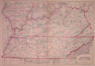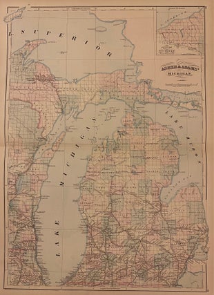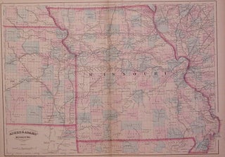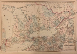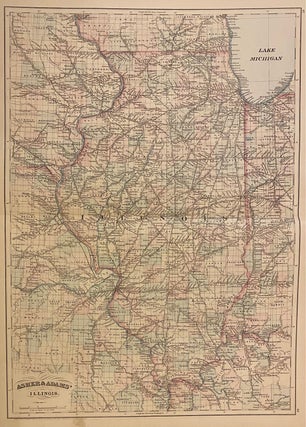
Asher & Adams' Illinois
New York: Asher & Adams, 1873. Map. Engraving with original hand coloring. Image measures 22 1/4" x 16" Classic double-page map of Illinois with special focus on the state's developing railroad system. Counties are hand-colored, and black lines depicting rail lines are labeled with the railroad name. Cities, towns, major routes, waterways, post offices, and other geographical features are noted. Parts of Missouri, Kentucky, Indiana, Iowa, and Wisconsin are included. Many cities along the coastline of Lake Michigan are labeled..... More