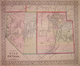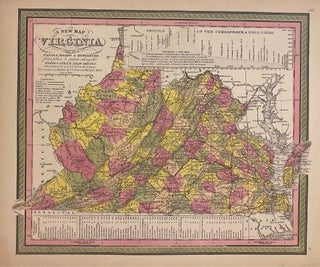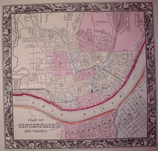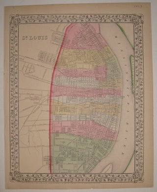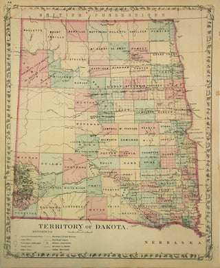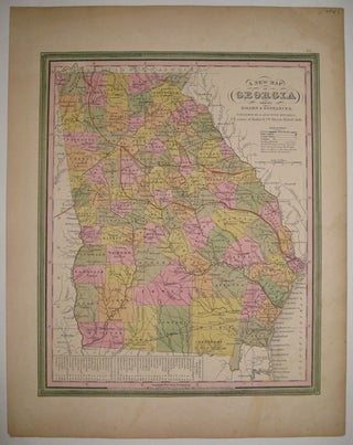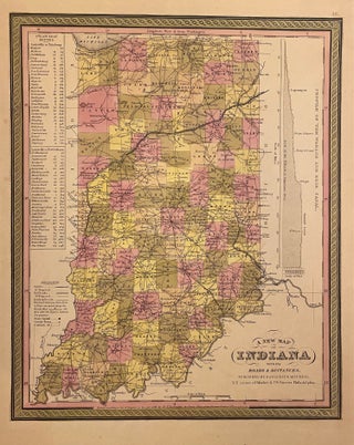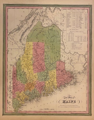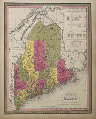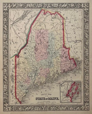
County Map of the State of Maine.
Philadelphia: Mitchell, Samuel Augustus Jr., 1860. Map. Steel engraving with original hand coloring. Image measures 13 3/8" x 10 5/8". Lovely map of Maine published in 1860 divided into counties. Shows major towns and cities, routes, railroads and waterways. Features an inset of Portland Harbor. In excellent condition, with a minor chip to lower margin not affecting the image. Samuel Augustus Mitchell Sr. (1792-1868) was one of the leaders in American cartography of the 19th century and pioneered the conversion..... More