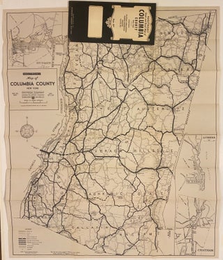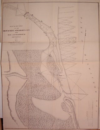
Plan & Section of the Milwaukee Straight Cut with Bay and Harbour Soundings
New York: Ackerman, J., 1853. Map. Uncolored lithograph. Image measures 23.75" x 18". Nice sea chart the Milwaukee River and Bay. Features geographical and topographical details, depths, town boundaries and some buildings. Missing left margin and minor toning along original folds. More